Njatjan Area, Njatjan Postcode(4860) & Map in Njatjan, Brisbane - South, QLD
Njatjan Area, Njatjan Postcode(4860) & Map in Njatjan, Brisbane - South, QLD, AU, Postcode: 4860
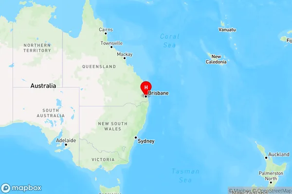
Njatjan, Salisbury - Nathan, Nathan, Brisbane - South, Queensland, Australia, 4860
Njatjan Postcode
Area Name
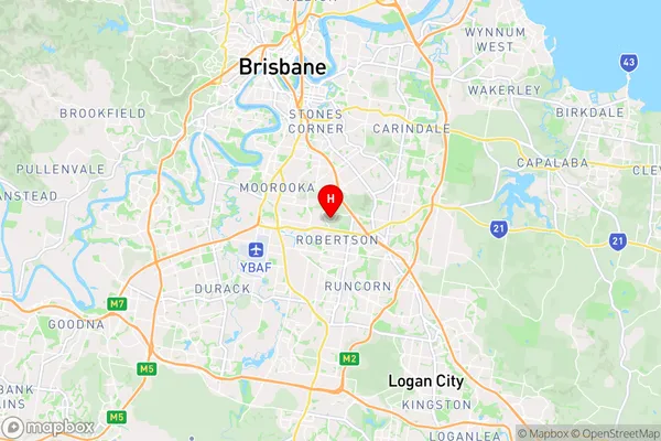
NjatjanNjatjan Suburb Area Map (Polygon)

Njatjan Introduction
Njatjan is a suburb in Brisbane, South, QLD, AU, located 11 km south-east of the CBD. It has a population of 1,509 people and is known for its parks and gardens, including the Njatjan Parklands. The suburb is also home to a number of schools, including Njatjan State School and St Paul's Lutheran College.State Name
City or Big Region
District or Regional Area
Suburb Name
Njatjan Region Map
Country
Main Region in AU
R3Coordinates
-27.5538722,153.053693 (latitude/longitude)Njatjan Area Map (Street)
Longitude
145.888782Latitude
-17.520343Njatjan Elevation
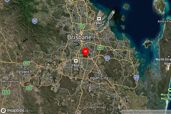
about 97.51 meters height above sea level (Altitude)Njatjan Suburb Map (Satellite)
Distances
The distance from Njatjan, Brisbane - South, QLD to AU Greater Capital CitiesSA1 Code 2011
30304107008SA1 Code 2016
30304107008SA2 Code
303041070SA3 Code
30304SA4 Code
303RA 2011
1RA 2016
1MMM 2015
1MMM 2019
1Charge Zone
Q4LGA Region
CairnsLGA Code
32080Electorate
Kennedy