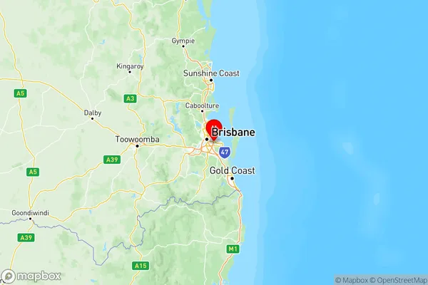
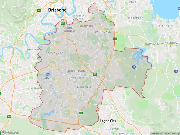
Brisbane South Suburbs & Region, Brisbane South Map & Postcodes
Brisbane South Suburbs & Region, Brisbane South Map & Postcodes in Brisbane South, QLD, AU
Brisbane South Region
Region Name
Brisbane South (QLD, AU)Brisbane South Area
265.34 square kilometers (265.34 ㎢)Postal Codes
from 4103 to 4105, from 4107 to 4109, from 4111 to 4113, 4115, 4116, from 4120 to 4122, 4153, 4156, and 4222 (In total, there are 17 postcodes in Brisbane South.)Brisbane South Introduction
Brisbane South is a suburb in the City of Brisbane, Queensland, Australia. It is located 7 kilometers south of the Brisbane CBD and is part of the South Brisbane district. The suburb has a population of around 11,000 people and is known for its vibrant community and convenient location. It is home to a number of parks, including South Bank Parklands, which is a popular destination for locals and tourists alike. Brisbane South is also home to a number of schools, including South Brisbane State School and St. Joseph's College. The suburb is well-connected to the rest of the city, with public transport options including buses and trains. It is also close to the Brisbane Airport and the Gateway Motorway, making it an easy commute for those who work in the city or travel regularly.Australia State
City or Big Region
Brisbane South Region Map

Brisbane South Postcodes / Zip Codes
Brisbane South Suburbs
Holland Park Yeronga
Mt Gravatt
Rocklea Acacia Ridge
Brisbane South full address
Brisbane South, Queensland, QLD, Australia, SaCode: 303Country
Brisbane South, Queensland, QLD, Australia, SaCode: 303
Brisbane South Suburbs & Region, Brisbane South Map & Postcodes has 6 areas or regions above, and there are 58 Brisbane South suburbs below. The sa4code for the Brisbane South region is 303. Its latitude and longitude coordinates are -27.5111,153.135.
Brisbane South Suburbs & Localities
1. Belmont
2. Annerley
3. Clifton Hill
4. Loreto Hill
5. Holland Park
6. Yeronga
7. Eight Mile Plains
8. Macgregor
9. Mansfield Bc
10. Mackenzie
11. Coopers Plains
12. Nathan
13. Salisbury
14. Algester
15. Stretton
16. Kuraby
17. Griffith University
