Yeronga Area, Yeronga Postcode(4104) & Map in Yeronga, Brisbane - South, QLD
Yeronga Area, Yeronga Postcode(4104) & Map in Yeronga, Brisbane - South, QLD, AU, Postcode: 4104
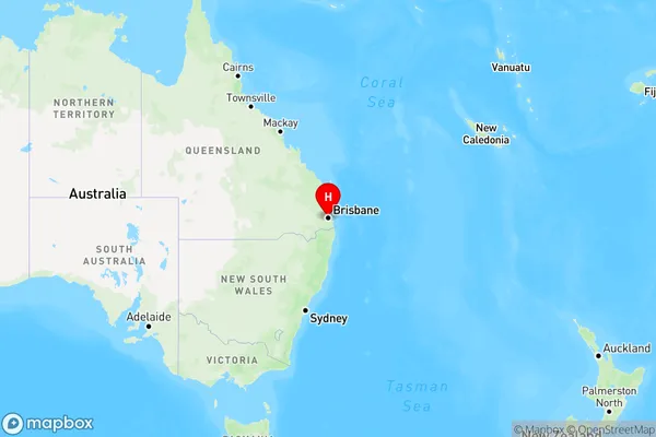
Yeronga, Yeronga, Holland Park - Yeronga, Brisbane - South, Queensland, Australia, 4104
Yeronga Postcode
Area Name
YerongaYeronga Suburb Area Map (Polygon)

Yeronga Introduction
Yeronga is a suburb in Brisbane, Queensland, Australia, 6 kilometers south of the CBD. It is named after the Yeronga Creek, which flows through it. The suburb has a variety of housing styles, including apartments, units, and houses. It is home to several parks, including Yeronga Park, which has a swimming pool, tennis courts, and a playground. The suburb also has a shopping center, a medical center, and a variety of restaurants and cafes.State Name
City or Big Region
District or Regional Area
Suburb Name
Yeronga Region Map
Country
Main Region in AU
R1Coordinates
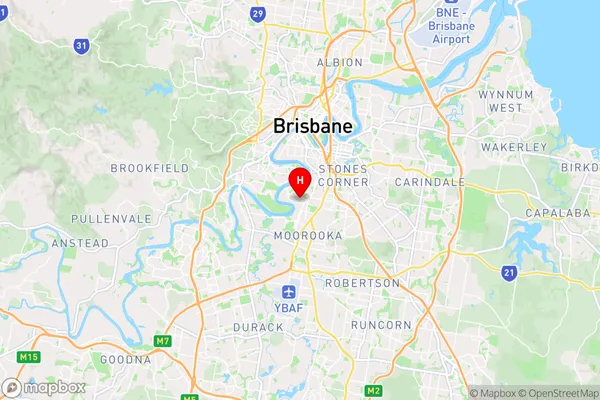
-27.5140455,153.0149526 (latitude/longitude)Yeronga Area Map (Street)
Longitude
153.011535Latitude
-27.515758Yeronga Elevation
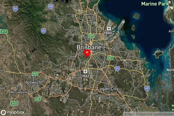
about 20.08 meters height above sea level (Altitude)Yeronga Suburb Map (Satellite)
Distances
The distance from Yeronga, Brisbane - South, QLD to AU Greater Capital CitiesSA1 Code 2011
30302105917SA1 Code 2016
30302105917SA2 Code
303021059SA3 Code
30302SA4 Code
303RA 2011
1RA 2016
1MMM 2015
1MMM 2019
1Charge Zone
Q1LGA Region
BrisbaneLGA Code
31000Electorate
Moreton