Yeronga Suburbs & Region, Yeronga Map & Postcodes
Yeronga Suburbs & Region, Yeronga Map & Postcodes in Yeronga, Rocklea Acacia Ridge, Brisbane South, QLD, AU
Yeronga Region
Region Name
Yeronga (QLD, AU)Yeronga Area
6.09 square kilometers (6.09 ㎢)Postal Codes
4104, and 4105 (In total, there are 2 postcodes in Yeronga.)Yeronga Suburb Area Map (Polygon)

Yeronga Introduction
Yeronga is a suburb in the City of Brisbane, Queensland, Australia. It is located 7 kilometers south of the Brisbane CBD and is part of the South Brisbane Region. The suburb has a population of around 11,000 people and is known for its historic homes and gardens. Yeronga is also home to the Yeronga Parklands, which include a golf course, picnic areas, and walking trails. The suburb has a variety of shops and restaurants and is well-connected to public transport.Australia State
City or Big Region
Greater Capital City
Greater Brisbane (3GBRI)District or Regional Area
Suburb Name
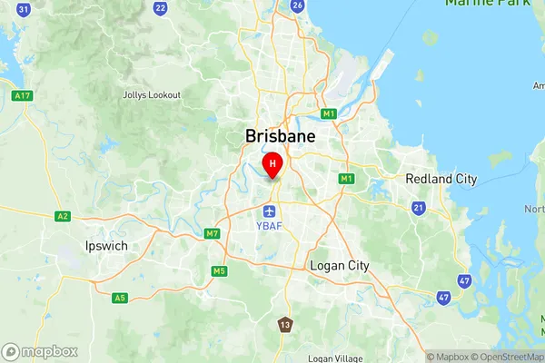
Yeronga Region Map
Yeronga Postcodes / Zip Codes
Yeronga Suburbs
Yeronga full address
Yeronga, Rocklea Acacia Ridge, Brisbane South, Queensland, QLD, Australia, SaCode: 303021059Country
Yeronga, Rocklea Acacia Ridge, Brisbane South, Queensland, QLD, Australia, SaCode: 303021059
Yeronga Suburbs & Region, Yeronga Map & Postcodes has 0 areas or regions above, and there are 4 Yeronga suburbs below. The sa2code for the Yeronga region is 303021059. Its latitude and longitude coordinates are -27.53,153.012. Yeronga area belongs to Australia's greater capital city Greater Brisbane.
Yeronga Suburbs & Localities
1. Yeronga
2. Yeronga West
3. Tennyson
4. Yeerongpilly