Yeronga West Area, Yeronga West Postcode(4104) & Map in Yeronga West, Brisbane - South, QLD
Yeronga West Area, Yeronga West Postcode(4104) & Map in Yeronga West, Brisbane - South, QLD, AU, Postcode: 4104
Yeronga West, Yeronga, Holland Park - Yeronga, Brisbane - South, Queensland, Australia, 4104
Yeronga West Postcode
Area Name
Yeronga WestYeronga West Suburb Area Map (Polygon)

Yeronga West Introduction
Yeronga West is a suburb in Brisbane, Queensland, Australia. It is located 7 kilometers southwest of the Brisbane CBD and is part of the City of Brisbane local government area. The suburb has a population of around 11,000 people and is known for its leafy streets, parks, and recreational facilities. It is also home to the Yeronga Parklands, which includes the Yeronga Lakes and the Brisbane Botanic Gardens.State Name
City or Big Region
District or Regional Area
Suburb Name
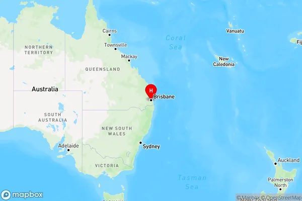
Yeronga West Region Map
Country
Main Region in AU
R1Coordinates
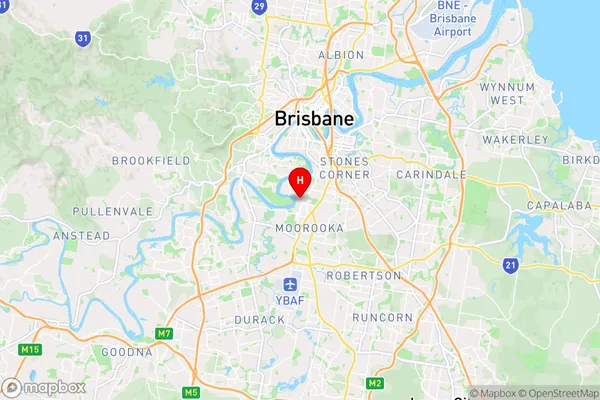
-27.5186,153.014 (latitude/longitude)Yeronga West Area Map (Street)
Longitude
153.011535Latitude
-27.515758Yeronga West Elevation
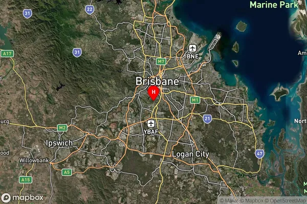
about 20.08 meters height above sea level (Altitude)Yeronga West Suburb Map (Satellite)
Distances
The distance from Yeronga West, Brisbane - South, QLD to AU Greater Capital CitiesSA1 Code 2011
30302105915SA1 Code 2016
30302105915SA2 Code
303021059SA3 Code
30302SA4 Code
303RA 2011
1RA 2016
1MMM 2015
1MMM 2019
1Charge Zone
Q1LGA Region
BrisbaneLGA Code
31000Electorate
Moreton