Queensland Suburbs & Region, Queensland Map & Postcodes
Queensland Suburbs & Region, Queensland Map & Postcodes in Queensland, QLD, AU
Queensland Region
Region Name
Queensland (QLD, AU)Queensland Area
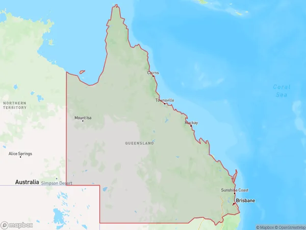
1851750 square kilometers (1,851,750 ㎢)Queensland Suburb Area Map (Polygon)
Queensland Introduction
Queensland is the largest state in Australia by area and population. It is located in the southeast corner of the country and borders New South Wales, Victoria, South Australia, and the Northern Territory. The state capital is Brisbane, and the largest city is Sydney. Queensland is known for its diverse landscape, including the Great Barrier Reef, the Outback, and the Sunshine Coast. The state has a rich history and culture, with Indigenous communities dating back thousands of years. Queensland is also home to many popular tourist destinations, including the Gold Coast, the Whitsunday Islands, and the Cairns region.Australia State
State Abbreviation
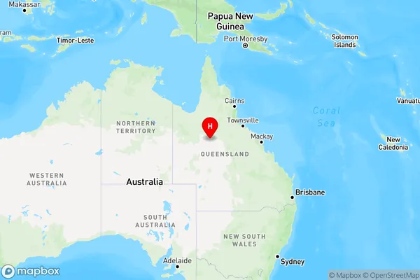
QLD (AU StateCode: 3)Queensland Region Map
Greater Capital City of Queensland QLD
Queensland's greater capital city is Brisbane (3BRI). It has 2470394 people lived inside it a few years ago. Brisbane, located in Queensland, offers a warm climate and a relaxed lifestyle with a mix of outdoor and urban activities.
Queensland Postcodes / Zip Codes
There are too many postcodes in Queensland, QLD, please click the Queensland Suburbs to check the zip codes inside an area or a region/suburb.
Queensland Suburbs
Brisbane East
Brisbane North
Brisbane South
Brisbane West
Brisbane Inner City
Cairns
Darling Downs Maranoa
Fitzroy
Gold Coast
Ipswich
Logan Beaudesert
Mackay
Moreton Bay North
Moreton Bay South
Queensland Outback
Sunshine Coast
Toowoomba
Townsville
Wide Bay
Migratory Offshore Shipping (Qld)
No usual address (Qld)
Queensland full address
Queensland, QLD, Australia, SaCode: 3Country
Queensland, QLD, Australia, SaCode: 3
Queensland Suburbs & Region, Queensland Map & Postcodes has 21 areas or regions above, and there are 0 Queensland suburbs below. The stateCode for the Queensland region is 3. Its latitude and longitude coordinates are -20.9176,142.703.