Mackay Suburbs & Region, Mackay Map & Postcodes
Mackay Suburbs & Region, Mackay Map & Postcodes in Mackay, QLD, AU
Mackay Region
Region Name
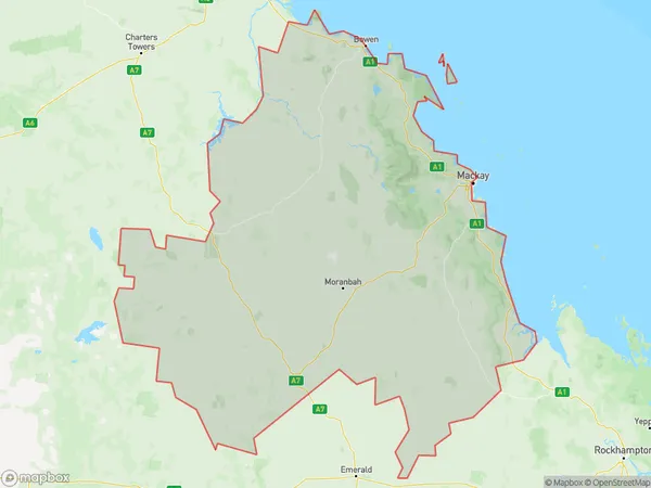
Mackay (QLD, AU)Mackay Area
90140 square kilometers (90,140 ㎢)Mackay Suburb Area Map (Polygon)
Mackay Introduction
Mackay is a city in Queensland, Australia, with a population of around 100,000 people. It is located in the central-eastern region of the state, about 1,100 kilometers north of Brisbane. The city is known for its coal mining industry, which has played a significant role in its economy for many years. Mackay is also home to a number of tourist attractions, including the Blue Mountains National Park, the Eungella National Park, and the Mackay Marina. The city has a warm tropical climate with average temperatures of around 28 degrees Celsius.Australia State
City or Big Region
Mackay Region Map
Mackay Suburbs
Bowen Basin North
Mackay
Whitsunday
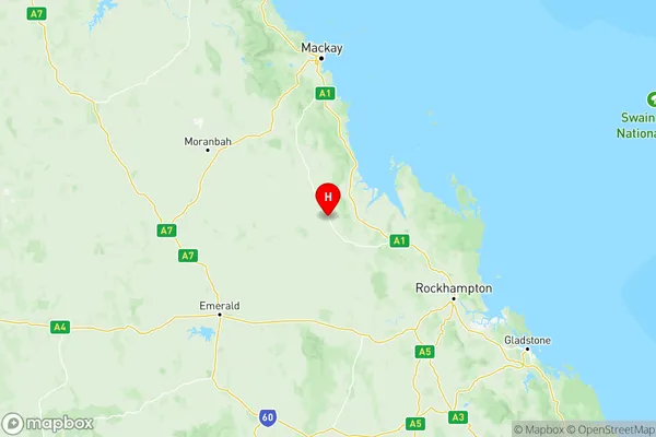
Mackay full address
Mackay, Queensland, QLD, Australia, SaCode: 312Country
Mackay, Queensland, QLD, Australia, SaCode: 312
Mackay Suburbs & Region, Mackay Map & Postcodes has 3 areas or regions above, and there are 0 Mackay suburbs below. The sa4code for the Mackay region is 312. Its latitude and longitude coordinates are -22.6371,149.251.