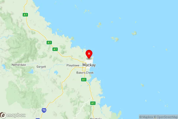
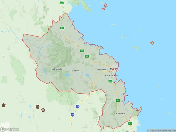
Mackay Suburbs & Region, Mackay Map & Postcodes
Mackay Suburbs & Region, Mackay Map & Postcodes in Mackay, QLD, AU
Mackay Region
Region Name
Mackay (QLD, AU)Mackay Area
7613 square kilometers (7,613 ㎢)Postal Codes
4737, 4738, 4740, 4750, 4751, 4753, 4754, 4756, 4757, 4798, and 4799 (In total, there are 11 postcodes in Mackay.)Mackay Introduction
Mackay is a city in Queensland, Australia, with a population of around 100,000 people. It is located in the central-eastern region of the state, about 1,100 kilometers north of Brisbane. The city is known for its coal mining industry, which has played a significant role in its economy for many years. Mackay is also home to a number of tourist attractions, including the Blue Mountains National Park, the Eungella National Park, and the Mackay Marina. The city has a warm tropical climate with average temperatures of around 28 degrees Celsius.Australia State
City or Big Region
District or Regional Area
Mackay Region Map

Mackay Postcodes / Zip Codes
Mackay Suburbs
Lockyer Valley East
Andergrove Beaconsfield
East Mackay
Eimeo Rural View
Eungella Hinterland
Mackay
North Mackay
Ooralea Bakers Creek
Pioneer Valley
Shoal Point Bucasia
Slade Point
South Mackay
West Mackay
Mackay full address
Mackay, Queensland, QLD, Australia, SaCode: 31202Country
Mackay, Queensland, QLD, Australia, SaCode: 31202
Mackay Suburbs & Region, Mackay Map & Postcodes has 14 areas or regions above, and there are 110 Mackay suburbs below. The sa3code for the Mackay region is 31202. Its latitude and longitude coordinates are -21.0954,149.187.
Mackay Suburbs & Localities
1. Blue Mountain
2. Sarina
3. Alligator Creek
4. Bakers Creek
5. Cape Hillsborough
6. Dolphin Heads
7. East Mackay
8. Erakala
9. Glenella
10. Habana
11. Homebush
12. Mackay Harbour
13. Mackay North
14. Mackay West
15. Mount Jukes
16. Munbura
17. Nindaroo
18. North Mackay
19. Ooralea
20. Greenmount
21. Mirani
22. Pinevale
23. Eungella Dam
24. Calen
25. Bloomsbury
26. Campwin Beach
27. Colston Park
28. Grasstree
29. Sarina Beach
30. Sarina Range
31. Sunnyside
32. Balnagowan
33. Chelona
34. Cremorne
35. Dundula
36. Haliday Bay
37. Mount Pleasant
38. Paget
39. Planella
40. Richanna Heights
41. Rural View
42. Te Kowai
43. The Leap
44. West Mackay
45. Wundaru
46. Yakapari
47. Shoal Point
48. Palmyra
49. Walkerston
50. Marian
51. Benholme
52. Dalrymple Heights
53. Mentmore
54. Midge Point
55. Plane Creek West
56. Shinfield
57. Koumala
58. Andergrove
59. Balberra
60. Belmunda
61. Caneland
62. Coningsby
63. Dunnrock
64. Eimeo
65. Foulden
66. Half Tide Beach
67. Louisa Creek
68. Mackay Bc
69. Mackay Dc
70. Mackay East
71. Mackay South
72. Mcewens Beach
73. Noorlah
74. Planland
75. Racecourse
76. Richmond
77. Salonika Beach
78. Slade Point
79. South Mackay
80. Victoria Plains
81. Devereux Creek
82. Dows Creek
83. Mount Martin
84. Septimus
85. Netherdale
86. Broken River
87. St Helens Beach
88. Wagoora
89. Armstrong Beach
90. Freshwater Point
91. Ilbilbie
92. Alexandra
93. Bakers Creek
94. Beaconsfield
95. Blacks Beach
96. Dumbleton
97. Grasstree Beach
98. Hay Point
99. Mackay
100. Mackay Caneland
101. Rosella
102. Sandiford
103. Telina Heights
104. Timberlands
105. Bucasia
106. Mia Mia
107. Finch Hatton
108. Crediton
109. Eungella
110. Pindi Pindi
