Slade Point Suburbs & Region, Slade Point Map & Postcodes
Slade Point Suburbs & Region, Slade Point Map & Postcodes in Slade Point, Mackay, QLD, AU
Slade Point Region
Region Name
Slade Point (QLD, AU)Slade Point Area
8.89 square kilometers (8.89 ㎢)Postal Codes
4740 (In total, there are 1 postcodes in Slade Point.)Slade Point Introduction
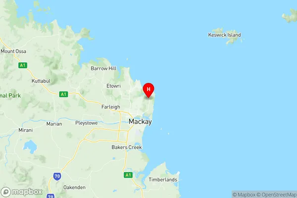
Slade Point is a locality in the Mackay Region, Queensland, Australia. It is one of the northernmost suburbs of Mackay and is located about 12 kilometres north of the city centre. The suburb is named after the Slade Point Lighthouse, which was built in 1884 and is one of the oldest lighthouses in Queensland. The lighthouse is a popular tourist attraction and is located on the southern side of the suburb. Slade Point is a residential suburb with a mix of houses and apartments. The suburb has a number of parks and recreational facilities, including a golf course, a swimming pool, and a skate park. The suburb is also home to a number of businesses, including a supermarket, a pharmacy, and a medical centre.Australia State
City or Big Region
Greater Capital City
Rest of Qld (3RQLD)District or Regional Area
Suburb Name
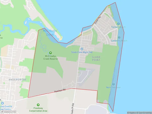
Slade Point Region Map

Slade Point Postcodes / Zip Codes
Slade Point Suburbs
Slade Point full address
Slade Point, Mackay, Queensland, QLD, Australia, SaCode: 312021355Country
Slade Point, Mackay, Queensland, QLD, Australia, SaCode: 312021355
Slade Point Suburbs & Region, Slade Point Map & Postcodes has 0 areas or regions above, and there are 1 Slade Point suburbs below. The sa2code for the Slade Point region is 312021355. Its latitude and longitude coordinates are -21.0839,149.21. Slade Point area belongs to Australia's greater capital city Rest of Qld.
Slade Point Suburbs & Localities
1. Slade Point
