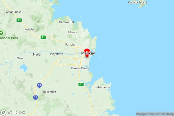
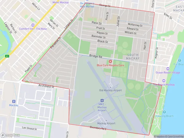
South Mackay Suburbs & Region, South Mackay Map & Postcodes
South Mackay Suburbs & Region, South Mackay Map & Postcodes in South Mackay, Mackay, QLD, AU
South Mackay Region
Region Name
South Mackay (QLD, AU)South Mackay Area
6.89 square kilometers (6.89 ㎢)Postal Codes
4740 (In total, there are 1 postcodes in South Mackay.)South Mackay Introduction
South Mackay is a locality in the Mackay Region, Queensland, Australia. It is one of the major coal-exporting areas in the region. The locality is located approximately 16 kilometers south of Mackay city center. The population of South Mackay is approximately 5,000 people. The area has a number of coal mines, including the Blackwater coal mine, the Mount Arthur coal mine, and the Saraji coal mine. The coal mines provide employment for many people in the region. South Mackay also has a number of schools, including South Mackay State School and St Patrick's College. The area is surrounded by beautiful natural scenery, including the Great Barrier Reef and the Mount Superbus National Park.Australia State
City or Big Region
Greater Capital City
Rest of Qld (3RQLD)District or Regional Area
Suburb Name
South Mackay Region Map

South Mackay Postcodes / Zip Codes
South Mackay Suburbs
South Mackay full address
South Mackay, Mackay, Queensland, QLD, Australia, SaCode: 312021356Country
South Mackay, Mackay, Queensland, QLD, Australia, SaCode: 312021356
South Mackay Suburbs & Region, South Mackay Map & Postcodes has 0 areas or regions above, and there are 2 South Mackay suburbs below. The sa2code for the South Mackay region is 312021356. Its latitude and longitude coordinates are -21.1636,149.182. South Mackay area belongs to Australia's greater capital city Rest of Qld.
South Mackay Suburbs & Localities
1. Mackay South
2. South Mackay
