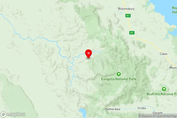
Eungella Hinterland Suburbs & Region, Eungella Hinterland Map & Postcodes
Eungella Hinterland Suburbs & Region, Eungella Hinterland Map & Postcodes in Eungella Hinterland, Mackay, QLD, AU
Eungella Hinterland Region
Region Name
Eungella Hinterland (QLD, AU)Eungella Hinterland Area
2049 square kilometers (2,049 ㎢)Eungella Hinterland Introduction
Eungella National Park is a tropical rainforest located in the Mackay region of Queensland, Australia. It is home to a variety of plant and animal species, including the endangered southern cassowary. The park is known for its stunning waterfalls, including the Eungella Falls, which is the tallest single-drop waterfall in Australia. The park also offers a range of hiking and camping opportunities, as well as a visitor center with information about the park's history and ecology.Australia State
City or Big Region
Greater Capital City
Rest of Qld (3RQLD)District or Regional Area
Suburb Name
Eungella Hinterland Region Map

Eungella Hinterland Suburbs
Eungella Hinterland full address
Eungella Hinterland, Mackay, Queensland, QLD, Australia, SaCode: 312021345Country
Eungella Hinterland, Mackay, Queensland, QLD, Australia, SaCode: 312021345
Eungella Hinterland Suburbs & Region, Eungella Hinterland Map & Postcodes has 0 areas or regions above, and there are 0 Eungella Hinterland suburbs below. The sa2code for the Eungella Hinterland region is 312021345. Its latitude and longitude coordinates are -20.9228,148.423. Eungella Hinterland area belongs to Australia's greater capital city Rest of Qld.
