Bowen Basin North Suburbs & Region, Bowen Basin North Map & Postcodes
Bowen Basin North Suburbs & Region, Bowen Basin North Map & Postcodes in Bowen Basin North, Mackay, QLD, AU
Bowen Basin North Region
Region Name
Bowen Basin North (QLD, AU)Bowen Basin North Area
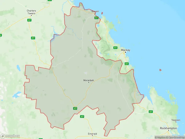
79853 square kilometers (79,853 ㎢)Postal Codes
4705, 4707, 4721, 4739, from 4742 to 4746, and 4804 (In total, there are 10 postcodes in Bowen Basin North.)Bowen Basin North Introduction
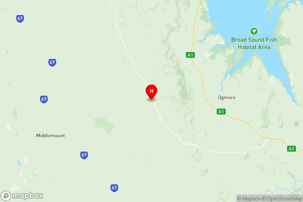
Bowen Basin North is a locality in the Mackay Region, Queensland, Australia. It is one of the major coal-producing areas in the region and is home to the Bowen Basin Coal Mine. The locality is located approximately 160 kilometers north of Mackay and 250 kilometers north of Brisbane. Bowen Basin North has a population of around 1,200 people and is a rural community with a strong mining heritage. The town is surrounded by beautiful countryside and is popular with outdoor enthusiasts and nature lovers. The area has a number of parks and recreational facilities, including a golf course and a swimming pool.Australia State
City or Big Region
District or Regional Area
Bowen Basin North Region Map

Bowen Basin North Postcodes / Zip Codes
Bowen Basin North Suburbs
Central Highlands West
Rockhampton Region North
Bowen Basin North full address
Bowen Basin North, Mackay, Queensland, QLD, Australia, SaCode: 31201Country
Bowen Basin North, Mackay, Queensland, QLD, Australia, SaCode: 31201
Bowen Basin North Suburbs & Region, Bowen Basin North Map & Postcodes has 4 areas or regions above, and there are 49 Bowen Basin North suburbs below. The sa3code for the Bowen Basin North region is 31201. Its latitude and longitude coordinates are -22.6371,149.251.
Bowen Basin North Suburbs & Localities
1. Collaroy
2. Belyando
3. Frankfield
4. Theresa Creek
5. Mt Britton
6. Nebo
7. Strathfield
8. Turrawulla
9. Valkyrie
10. Peak Downs Mine
11. May Downs
12. Collinsville
13. Lotus Creek
14. Mackenzie River
15. Argyll
16. Elgin
17. Kilcummin
18. Laglan
19. Wolfang
20. Eaglefield
21. Mount Britton
22. Oxford
23. Suttor
24. Middlemount
25. Mount Coolon
26. Mount Wyatt
27. Newlands
28. Clarke Creek
29. Mount Gardiner
30. Gemini Mountains
31. Pasha
32. Burton
33. Kemmis
34. Glenden
35. Moranbah
36. Dysart
37. German Creek
38. Marlborough
39. St Lawrence
40. The Percy Group
41. Clermont
42. Peak Vale
43. Winchester
44. Carmila
45. Elphinstone
46. Hail Creek
47. Norwich Park
48. Scottville
49. Springlands
