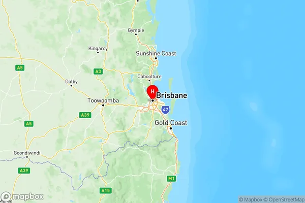
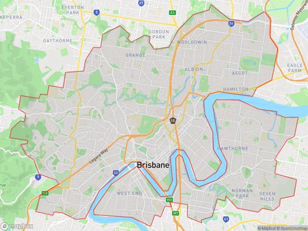
Brisbane Inner City Suburbs & Region, Brisbane Inner City Map & Postcodes
Brisbane Inner City Suburbs & Region, Brisbane Inner City Map & Postcodes in Brisbane Inner City, QLD, AU
Brisbane Inner City Region
Region Name
Brisbane Inner City (QLD, AU)Brisbane Inner City Area
81.74 square kilometers (81.74 ㎢)Postal Codes
4000, 4001, from 4004 to 4007, from 4009 to 4012, from 4029 to 4031, 4051, from 4059 to 4061, from 4064 to 4066, 4068, 4101, 4102, 4151, 4152, from 4169 to 4172, 4413, from 9000 to 9002, 9005, 9007, 9009, 9010, 9013, and 9015 (In total, there are 39 postcodes in Brisbane Inner City.)Brisbane Inner City Introduction
Brisbane Inner City is a locality in the City of Brisbane, Queensland, Australia. It is located 4 km northwest of the Brisbane CBD. The locality is represented by the Brisbane City Council. The postcode for Brisbane Inner City is 4000. Brisbane Inner City is a diverse area with a mix of residential, commercial, and cultural properties. It is home to many historic buildings, including the Queensland Parliament House, the Brisbane City Hall, and the Old Government House. The locality is also known for its vibrant arts scene, with numerous galleries, museums, and theatres. The Brisbane Inner City is well-connected to other parts of the city, with public transport options including buses, trains, and ferries. It is also home to several major hospitals, including the Royal Brisbane and Women's Hospital and the Prince Charles Hospital.Australia State
City or Big Region
Brisbane Inner City Region Map

Brisbane Inner City Postcodes / Zip Codes
Brisbane Inner City Suburbs
Brisbane Inner
Brisbane Inner East
Brisbane Inner North
Brisbane Inner West
Brisbane Inner City full address
Brisbane Inner City, Queensland, QLD, Australia, SaCode: 305Country
Brisbane Inner City, Queensland, QLD, Australia, SaCode: 305
Brisbane Inner City Suburbs & Region, Brisbane Inner City Map & Postcodes has 4 areas or regions above, and there are 136 Brisbane Inner City suburbs below. The sa4code for the Brisbane Inner City region is 305. Its latitude and longitude coordinates are -27.487,153.019.
Brisbane Inner City Suburbs & Localities
1. Murarrie
2. Kedron
3. Wavell Heights
4. Eagle Farm
5. Whinstanes
6. Whites Hill
7. Cannon Hill
8. Coorparoo
9. Dutton Park
10. Chelmer
11. Gaythorne
12. Mount Coot Tha
13. The Gap
14. Brisbane Gpo
15. Central Plaza
16. Brisbane
17. Fortitude Valley
18. Highgate Hill
19. New Farm
20. Spring Hill
21. Balmoral
22. Stanley Bridge
23. Albion Bc
24. Clayfield
25. Royal Brisbane Hospital
26. Normanby
27. Eildon Hill
28. Ashgrove
29. Jubilee
30. Baroona
31. Red Hill
