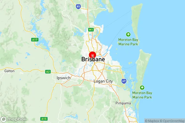
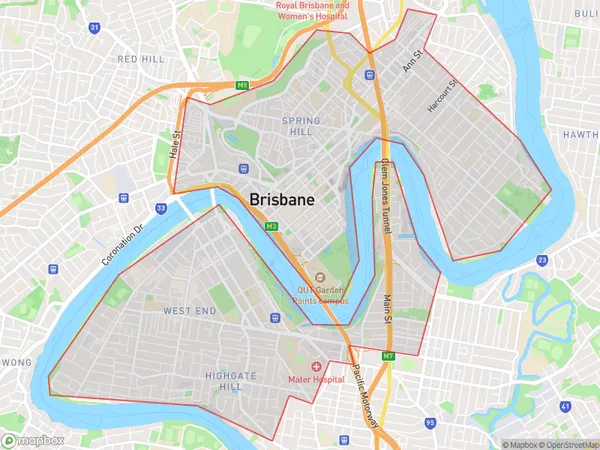
Brisbane Inner Suburbs & Region, Brisbane Inner Map & Postcodes
Brisbane Inner Suburbs & Region, Brisbane Inner Map & Postcodes in Brisbane Inner, Brisbane Inner City, QLD, AU
Brisbane Inner Region
Region Name
Brisbane Inner (QLD, AU)Brisbane Inner Area
13.56 square kilometers (13.56 ㎢)Postal Codes
4101 (In total, there are 1 postcodes in Brisbane Inner.)Brisbane Inner Introduction
Brisbane Inner is a locality in the City of Brisbane, Queensland, Australia. It is located 4 km northwest of the Brisbane CBD. The suburb is represented by two members on the Brisbane City Council, with the Labor Party holding one seat and the Liberal National Party holding the other. The suburb has a population of 10,368 people as of the 2016 Australian census. The suburb is named after the Brisbane River, which flows through it. The river was named after the Brisbane River in England, which in turn was named after the city of Brisbane in Scotland. The suburb is home to a number of historic buildings, including the Brisbane City Hall, which was built in 1869. The suburb is also home to a number of parks and recreational facilities, including the Brisbane Botanic Gardens, which is one of the largest botanical gardens in Australia.Australia State
City or Big Region
District or Regional Area
Brisbane Inner Region Map

Brisbane Inner Postcodes / Zip Codes
Brisbane Inner Suburbs
Brisbane Inner full address
Brisbane Inner, Brisbane Inner City, Queensland, QLD, Australia, SaCode: 30501Country
Brisbane Inner, Brisbane Inner City, Queensland, QLD, Australia, SaCode: 30501
Brisbane Inner Suburbs & Region, Brisbane Inner Map & Postcodes has 4 areas or regions above, and there are 7 Brisbane Inner suburbs below. The sa3code for the Brisbane Inner region is 30501. Its latitude and longitude coordinates are -27.487,153.019.
Brisbane Inner Suburbs & Localities
1. Highgate Hill
2. Mater Hill
3. Mater Hospital
4. South Bank
5. South Brisbane
6. South Brisbane Bc
7. West End
