West End Suburbs & Region, West End Map & Postcodes
West End Suburbs & Region, West End Map & Postcodes in West End, Brisbane Inner, Brisbane Inner City, QLD, AU
West End Region
Region Name
West End (QLD, AU)West End Area
1.97 square kilometers (1.97 ㎢)Postal Codes
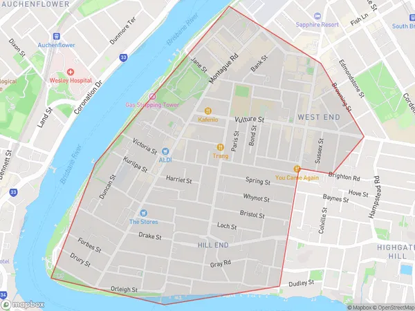
4101 (In total, there are 1 postcodes in West End.)West End Suburb Area Map (Polygon)
West End Introduction
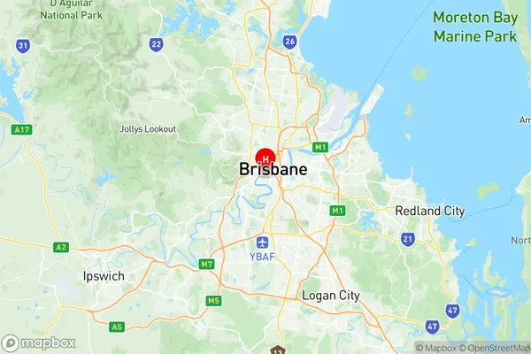
West End is a suburb of Brisbane, Queensland, Australia. It is located 4 kilometers west of the Brisbane CBD and has a population of around 4,500 people. The suburb is known for its vibrant cultural scene, with many galleries, museums, and theatres located in the area. It is also home to the University of Queensland's St Lucia campus. West End is a popular residential area, with many historic homes and apartments. It is also well-connected to the rest of Brisbane, with public transport options including buses and trains.Australia State
City or Big Region
Greater Capital City
Greater Brisbane (3GBRI)District or Regional Area
Suburb Name
West End Region Map
West End Postcodes / Zip Codes
West End Suburbs
West End full address
West End, Brisbane Inner, Brisbane Inner City, Queensland, QLD, Australia, SaCode: 305011112Country
West End, Brisbane Inner, Brisbane Inner City, Queensland, QLD, Australia, SaCode: 305011112
West End Suburbs & Region, West End Map & Postcodes has 0 areas or regions above, and there are 2 West End suburbs below. The sa2code for the West End region is 305011112. Its latitude and longitude coordinates are -27.4799,153.012. West End area belongs to Australia's greater capital city Greater Brisbane.
West End Suburbs & Localities
1. West End
2. South Bank