South Bank Area, South Bank Postcode(4101) & Map in South Bank, Brisbane Inner City, QLD
South Bank Area, South Bank Postcode(4101) & Map in South Bank, Brisbane Inner City, QLD, AU, Postcode: 4101
South Bank, West End, Brisbane Inner, Brisbane Inner City, Queensland, Australia, 4101
South Bank Postcode
Area Name
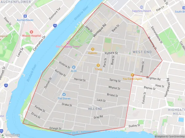
South BankSouth Bank Suburb Area Map (Polygon)

South Bank Introduction
South Bank is a cultural precinct and parklands on the southern bank of the Brisbane River in Brisbane, Queensland, Australia. It is home to the Queensland Performing Arts Centre, the South Bank Parklands, the Queensland Art Gallery, and numerous restaurants, cafes, and bars. The precinct is popular with locals and tourists alike and is known for its stunning views of the river and city skyline.State Name
City or Big Region
District or Regional Area
Suburb Name
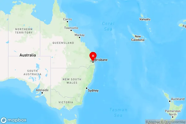
South Bank Region Map

Country
Main Region in AU
R1Coordinates
-27.4799,153.012 (latitude/longitude)South Bank Area Map (Street)

Longitude
153.009661Latitude
-27.484254South Bank Elevation
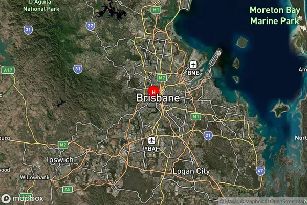
about 26.56 meters height above sea level (Altitude)South Bank Suburb Map (Satellite)

Distances
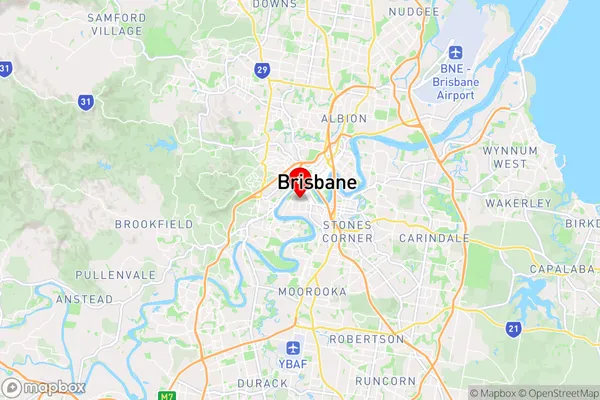
The distance from South Bank, Brisbane Inner City, QLD to AU Greater Capital CitiesSA1 Code 2011
30501111204SA1 Code 2016
30501111204SA2 Code
305011112SA3 Code
30501SA4 Code
305RA 2011
1RA 2016
1MMM 2015
1MMM 2019
1Charge Zone
Q1LGA Region
BrisbaneLGA Code
31000Electorate
Griffith