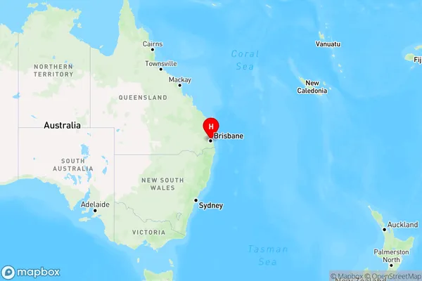
Eagle Farm Area, Eagle Farm Postcode(4009) & Map in Eagle Farm, Brisbane - North, QLD
Eagle Farm Area, Eagle Farm Postcode(4009) & Map in Eagle Farm, Brisbane - North, QLD, AU, Postcode: 4009
Eagle Farm, Eagle Farm - Pinkenba, Nundah, Brisbane - North, Queensland, Australia, 4009
Eagle Farm Postcode
Area Name
Eagle FarmEagle Farm Suburb Area Map (Polygon)

Eagle Farm Introduction
Eagle Farm is a suburb in the City of Brisbane, Queensland, Australia. It is located 7 kilometers north of the Brisbane CBD and is bordered by the suburbs of New Farm, Teneriffe, and Newstead. The suburb is named after the Eagle Farm Racecourse, which is located in the suburb. Eagle Farm is known for its historic buildings, including the Eagle Farm Racecourse and the Royal Queensland Exhibitiongrounds. It is also home to a number of parks and recreational facilities, including the Brisbane Botanic Gardens and the Sir Thomas Brisbane Planetarium.State Name
City or Big Region
District or Regional Area
Suburb Name
Eagle Farm Region Map

Country
Main Region in AU
R1Coordinates
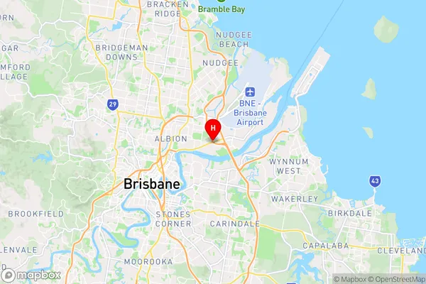
-27.4330179,153.0829858 (latitude/longitude)Eagle Farm Area Map (Street)

Longitude
153.105247Latitude
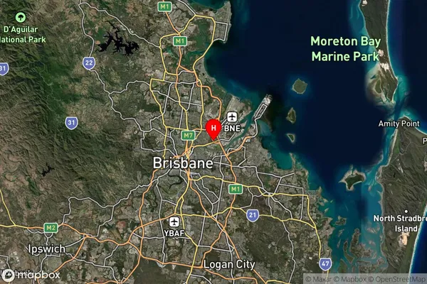
-27.405747Eagle Farm Suburb Map (Satellite)

Distances
The distance from Eagle Farm, Brisbane - North, QLD to AU Greater Capital CitiesSA1 Code 2011
30203103702SA1 Code 2016
30203103704SA2 Code
302031037SA3 Code
30203SA4 Code
302RA 2011
1RA 2016
1MMM 2015
1MMM 2019
1Charge Zone
Q1LGA Region
BrisbaneLGA Code
31000Electorate
Lilley