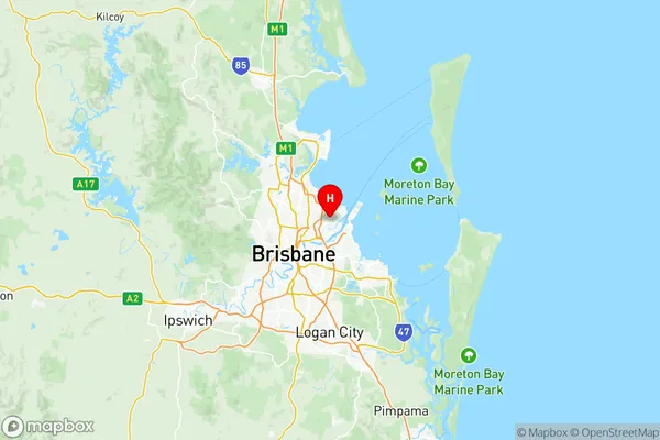
Nundah Suburbs & Region, Nundah Map & Postcodes
Nundah Suburbs & Region, Nundah Map & Postcodes in Nundah, Brisbane North, QLD, AU
Nundah Region
Region Name
Nundah (QLD, AU)Nundah Area
87.03 square kilometers (87.03 ㎢)Postal Codes
4008, 4013, 4014, and 9464 (In total, there are 4 postcodes in Nundah.)Nundah Introduction
Nundah is a suburb in the City of Brisbane, Queensland, Australia. It is located 5 kilometers northwest of the Brisbane CBD and is part of the Brisbane North Region. The suburb has a population of approximately 10,000 people and is known for its leafy streets, parks, and well-maintained homes. Nundah has a variety of shopping centers, including the Nundah Village Shopping Centre and the Nundah City Shopping Centre, as well as several medical facilities, including the Nundah Medical Centre and the Nundah Hospital. The suburb is also home to several educational institutions, including Nundah State School and Nundah College.Australia State
City or Big Region
District or Regional Area
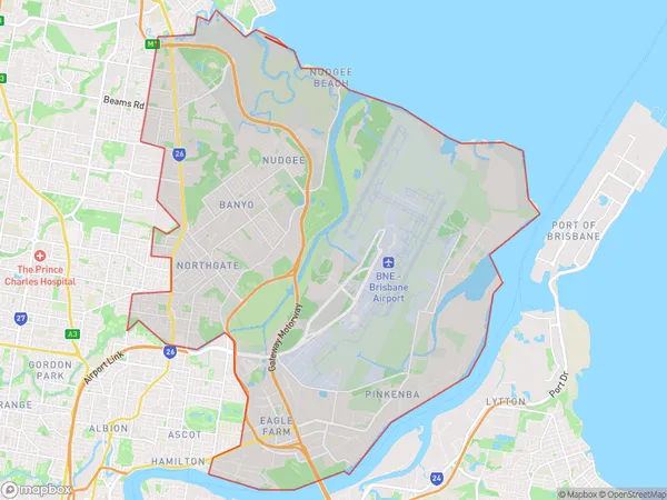
Nundah Region Map

Nundah Postcodes / Zip Codes
Nundah Suburbs
Brisbane Airport
Eagle Farm Pinkenba
Northgate Virginia
Nudgee Banyo
Nundah full address
Nundah, Brisbane North, Queensland, QLD, Australia, SaCode: 30203Country
Nundah, Brisbane North, Queensland, QLD, Australia, SaCode: 30203
Nundah Suburbs & Region, Nundah Map & Postcodes has 4 areas or regions above, and there are 14 Nundah suburbs below. The sa3code for the Nundah region is 30203. Its latitude and longitude coordinates are -27.3941,153.115.
Nundah Suburbs & Localities
1. Brisbane Airport
2. Pinkenba
3. Bulwer Island
4. Meeandah
5. Northgate
6. Banyo
7. Northgate Mc
8. Myrtletown
9. Nudgee
10. Nudgee Beach
11. Virginia
12. Virginia Bc
13. Virginia Dc
14. Northgate Mc
