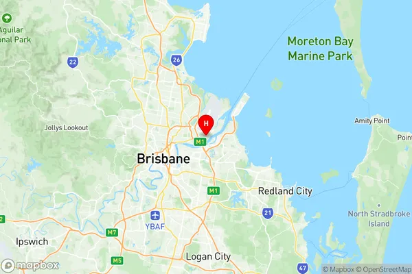
Eagle Farm Pinkenba Suburbs & Region, Eagle Farm Pinkenba Map & Postcodes
Eagle Farm Pinkenba Suburbs & Region, Eagle Farm Pinkenba Map & Postcodes in Eagle Farm Pinkenba, Nundah, Brisbane North, QLD, AU
Eagle Farm Pinkenba Region
Region Name
Eagle Farm Pinkenba (QLD, AU)Eagle Farm Pinkenba Area
7.23 square kilometers (7.23 ㎢)Postal Codes
from 4007 to 4009 (In total, there are 3 postcodes in Eagle Farm Pinkenba.)Eagle Farm Pinkenba Introduction
Eagle Farm Pinkenba is a suburb in the City of Brisbane, Queensland, Australia. It is located 7 kilometers north of the Brisbane CBD and is part of the North Brisbane Region. The suburb is named after the former Eagle Farm Racecourse, which was located in the area. Eagle Farm Pinkenba is a diverse suburb with a mix of residential and commercial properties. The suburb has a large population of Chinese and Vietnamese immigrants, and there are many Asian restaurants and grocery stores in the area. The suburb also has a large Catholic community, with several churches and schools. Eagle Farm Pinkenba is well-connected to the rest of Brisbane, with several bus routes and the Pinkenba railway station located within the suburb. The suburb also has easy access to the Gateway Motorway and the Brisbane Airport. The suburb has several parks and recreational facilities, including the Pinkenba Parklands, which has a playground, picnic areas, and walking tracks. The suburb also has a golf course and a bowls club. Eagle Farm Pinkenba is a popular suburb with a vibrant community and a range of amenities. It is a great place to live and work, with plenty of opportunities for entertainment and recreation.Australia State
City or Big Region
Greater Capital City
Greater Brisbane (3GBRI)District or Regional Area
Suburb Name
Eagle Farm Pinkenba Region Map

Eagle Farm Pinkenba Postcodes / Zip Codes
Eagle Farm Pinkenba Suburbs
Eagle Farm Pinkenba full address
Eagle Farm Pinkenba, Nundah, Brisbane North, Queensland, QLD, Australia, SaCode: 302031037Country
Eagle Farm Pinkenba, Nundah, Brisbane North, Queensland, QLD, Australia, SaCode: 302031037
Eagle Farm Pinkenba Suburbs & Region, Eagle Farm Pinkenba Map & Postcodes has 0 areas or regions above, and there are 4 Eagle Farm Pinkenba suburbs below. The sa2code for the Eagle Farm Pinkenba region is 302031037. Its latitude and longitude coordinates are -27.4304,153.109. Eagle Farm Pinkenba area belongs to Australia's greater capital city Greater Brisbane.
Eagle Farm Pinkenba Suburbs & Localities
1. Eagle Farm
2. Eagle Farm Bc
3. Meeandah
4. Whinstanes
