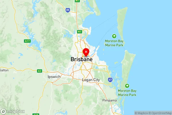
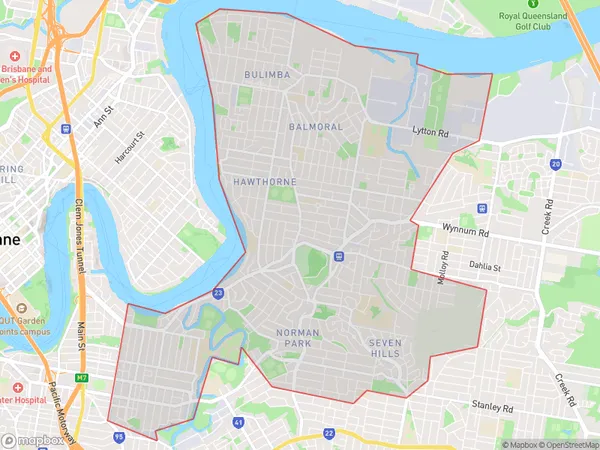
Brisbane Inner East Suburbs & Region, Brisbane Inner East Map & Postcodes
Brisbane Inner East Suburbs & Region, Brisbane Inner East Map & Postcodes in Brisbane Inner East, Brisbane Inner City, QLD, AU
Brisbane Inner East Region
Region Name
Brisbane Inner East (QLD, AU)Brisbane Inner East Area
15.6 square kilometers (15.6 ㎢)Postal Codes
4102, 4151, 4152, and from 4169 to 4172 (In total, there are 7 postcodes in Brisbane Inner East.)Brisbane Inner East Introduction
Brisbane Inner East is a locality in the City of Brisbane, Queensland, Australia. It is located 5 kilometers east of the Brisbane CBD. The suburb has a population of 10,029 people as of the 2016 census. The suburb is home to a variety of cultural and recreational facilities, including the Brisbane Convention and Exhibition Centre, the South Bank Parklands, and the Queensland Performing Arts Centre. It is also well-connected to the rest of the city via public transport, with the South Bank railway station located within the suburb.Australia State
City or Big Region
District or Regional Area
Brisbane Inner East Region Map

Brisbane Inner East Postcodes / Zip Codes
Brisbane Inner East Suburbs
Morningside Seven Hills
Brisbane Inner East full address
Brisbane Inner East, Brisbane Inner City, Queensland, QLD, Australia, SaCode: 30502Country
Brisbane Inner East, Brisbane Inner City, Queensland, QLD, Australia, SaCode: 30502
Brisbane Inner East Suburbs & Region, Brisbane Inner East Map & Postcodes has 13 areas or regions above, and there are 26 Brisbane Inner East suburbs below. The sa3code for the Brisbane Inner East region is 30502. Its latitude and longitude coordinates are -27.4539,153.067.
Brisbane Inner East Suburbs & Localities
1. Woolloongabba
2. Buranda
3. Princess Alexandra Hospital
4. Dutton Park
5. Carina
6. Carindale
7. Seven Hills
8. Galloways Hill
9. Hawthorne
10. Coorparoo
11. Coorparoo Bc
12. Coorparoo Dc
13. Carina Heights
14. Whites Hill
15. Stanley Bridge
16. Bulimba
17. Carina North
18. Morningside
19. Camp Hill
20. East Brisbane
21. Kangaroo Point
22. Cannon Hill
23. Colmslie
24. Norman Park
25. Balmoral
26. Murarrie
