Norman Park Area, Norman Park Postcode(4170) & Map in Norman Park, Brisbane Inner City, QLD
Norman Park Area, Norman Park Postcode(4170) & Map in Norman Park, Brisbane Inner City, QLD, AU, Postcode: 4170
Norman Park, Norman Park, Brisbane Inner - East, Brisbane Inner City, Queensland, Australia, 4170
Norman Park Postcode
Area Name
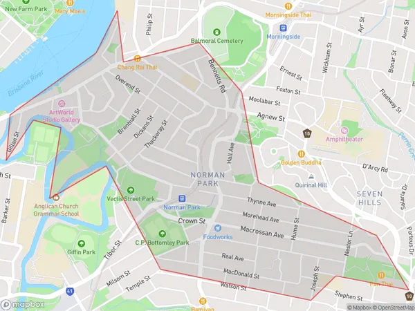
Norman ParkNorman Park Suburb Area Map (Polygon)

Norman Park Introduction
Norman Park is a heritage-listed park in Brisbane, Queensland, Australia. It is located in the suburb of Norman Park, to the south of the Brisbane CBD. The park was established in 1864 and is named after Sir Norman Macdonald, who was the Premier of Queensland from 1899 to 1901. The park is home to a variety of trees, including figs, palms, and cypresses, and is a popular spot for picnics and barbecues. It also features a playground, walking tracks, and a cricket ground.State Name
City or Big Region
District or Regional Area
Suburb Name
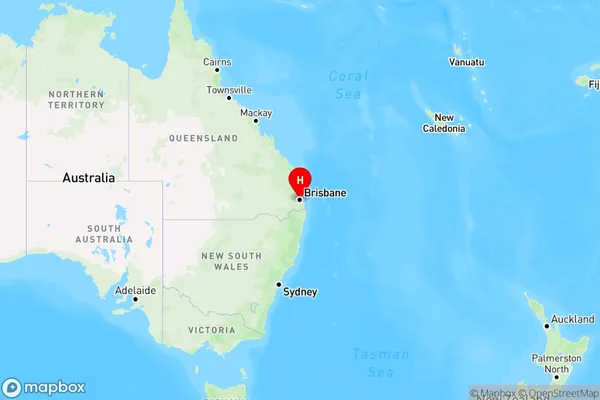
Norman Park Region Map

Country
Main Region in AU
R1Coordinates
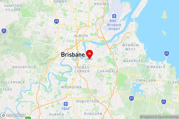
-27.479,153.062 (latitude/longitude)Norman Park Area Map (Street)

Longitude
153.074231Latitude
-27.470778Norman Park Elevation
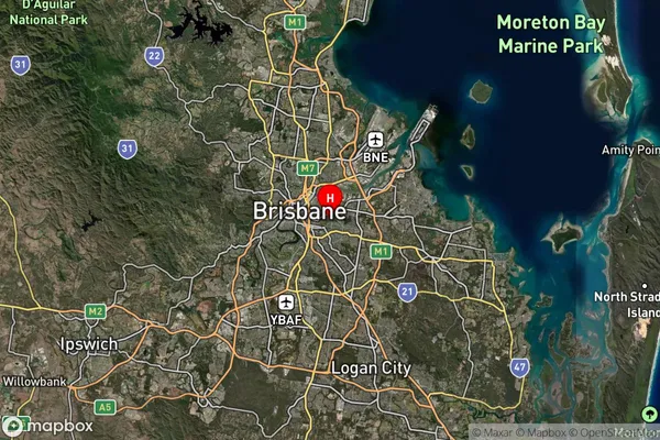
about 16.45 meters height above sea level (Altitude)Norman Park Suburb Map (Satellite)

Distances
The distance from Norman Park, Brisbane Inner City, QLD to AU Greater Capital CitiesSA1 Code 2011
30502111809SA1 Code 2016
30502111809SA2 Code
305021118SA3 Code
30502SA4 Code
305RA 2011
1RA 2016
1MMM 2015
1MMM 2019
1Charge Zone
Q1LGA Region
BrisbaneLGA Code
31000Electorate
Griffith