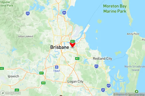
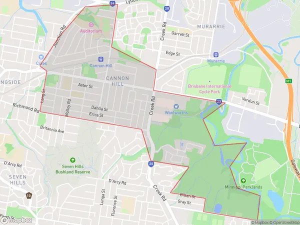
Cannon Hill Suburbs & Region, Cannon Hill Map & Postcodes
Cannon Hill Suburbs & Region, Cannon Hill Map & Postcodes in Cannon Hill, Brisbane Inner East, Brisbane Inner City, QLD, AU
Cannon Hill Region
Region Name
Cannon Hill (QLD, AU)Cannon Hill Area
3.95 square kilometers (3.95 ㎢)Postal Codes
4170 (In total, there are 1 postcodes in Cannon Hill.)Cannon Hill Introduction
Cannon Hill is a suburb in the City of Brisbane, Queensland, Australia. It is located 5 kilometers south of the Brisbane CBD and is bordered by the suburbs of Teneriffe, New Farm, and Hawthorne. The suburb is named after the cannon hill which was used as a lookout during the early days of settlement. Cannon Hill has a variety of housing styles, including apartments, units, and houses. It is a popular suburb for families and young professionals due to its convenient location, good schools, and variety of shopping and dining options. The suburb also has a number of parks and recreational facilities, including the Cannon Hill Parklands and the Brisbane Botanic Gardens.Australia State
City or Big Region
Greater Capital City
Greater Brisbane (3GBRI)District or Regional Area
Suburb Name
Cannon Hill Region Map

Cannon Hill Postcodes / Zip Codes
Cannon Hill Suburbs
Cannon Hill full address
Cannon Hill, Brisbane Inner East, Brisbane Inner City, Queensland, QLD, Australia, SaCode: 303011048Country
Cannon Hill, Brisbane Inner East, Brisbane Inner City, Queensland, QLD, Australia, SaCode: 303011048
Cannon Hill Suburbs & Region, Cannon Hill Map & Postcodes has 0 areas or regions above, and there are 1 Cannon Hill suburbs below. The sa2code for the Cannon Hill region is 303011048. Its latitude and longitude coordinates are -27.473,153.097. Cannon Hill area belongs to Australia's greater capital city Greater Brisbane.
Cannon Hill Suburbs & Localities
1. Cannon Hill
