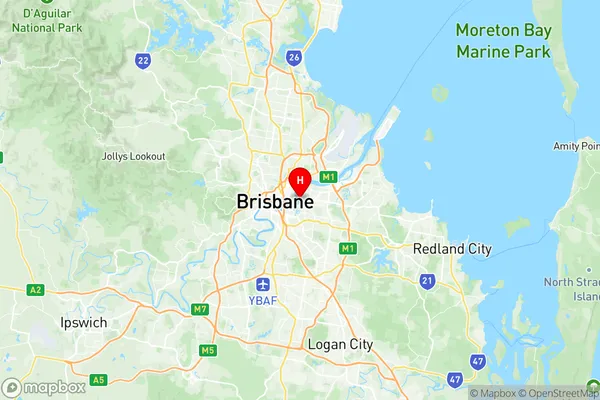
Hawthorne Suburbs & Region, Hawthorne Map & Postcodes
Hawthorne Suburbs & Region, Hawthorne Map & Postcodes in Hawthorne, Brisbane Inner East, Brisbane Inner City, QLD, AU
Hawthorne Region
Region Name
Hawthorne (QLD, AU)Hawthorne Area
1.39 square kilometers (1.39 ㎢)Postal Codes
4171 (In total, there are 1 postcodes in Hawthorne.)Hawthorne Introduction
Hawthorne is a suburb in the Inner City of Brisbane, Queensland, Australia. It is located 4 kilometers southeast of the Brisbane CBD and is bordered by the Brisbane River to the north, Parklands to the east, and Toowong to the south. Hawthorne is known for its vibrant cultural scene, with a variety of restaurants, cafes, and art galleries. It is also home to several parks, including Hawthorne Park and Mowbray Park, and is a popular destination for outdoor enthusiasts and families. The suburb has a rich history, with many of its buildings dating back to the 19th century. It was named after the English poet and novelist Nathaniel Hawthorne, who visited Brisbane in 1849.Australia State
City or Big Region
Greater Capital City
Greater Brisbane (3GBRI)District or Regional Area
Suburb Name
Hawthorne Region Map

Hawthorne Postcodes / Zip Codes
Hawthorne Suburbs
Hawthorne full address
Hawthorne, Brisbane Inner East, Brisbane Inner City, Queensland, QLD, Australia, SaCode: 305021116Country
Hawthorne, Brisbane Inner East, Brisbane Inner City, Queensland, QLD, Australia, SaCode: 305021116
Hawthorne Suburbs & Region, Hawthorne Map & Postcodes has 0 areas or regions above, and there are 1 Hawthorne suburbs below. The sa2code for the Hawthorne region is 305021116. Its latitude and longitude coordinates are -27.467,153.058. Hawthorne area belongs to Australia's greater capital city Greater Brisbane.
Hawthorne Suburbs & Localities
1. Hawthorne
