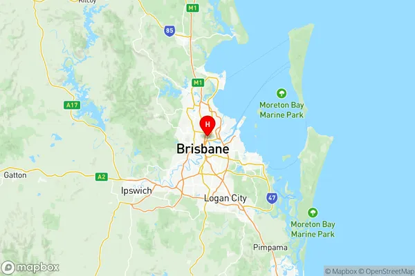
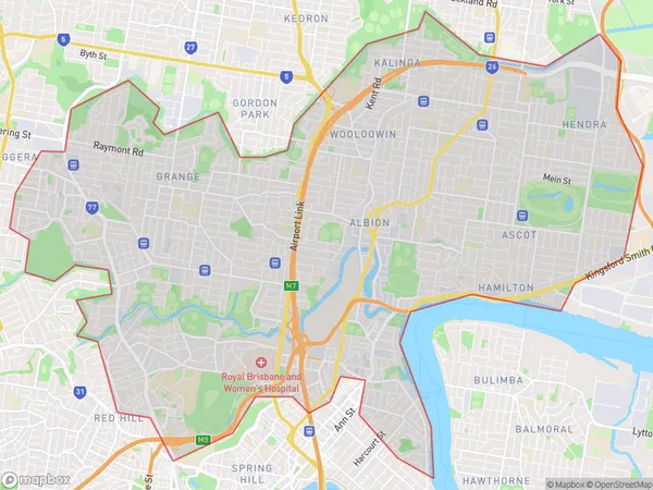
Brisbane Inner North Suburbs & Region, Brisbane Inner North Map & Postcodes
Brisbane Inner North Suburbs & Region, Brisbane Inner North Map & Postcodes in Brisbane Inner North, Brisbane Inner City, QLD, AU
Brisbane Inner North Region
Region Name
Brisbane Inner North (QLD, AU)Brisbane Inner North Area
30.95 square kilometers (30.95 ㎢)Postal Codes
from 4005 to 4007, from 4009 to 4012, and from 4029 to 4031 (In total, there are 10 postcodes in Brisbane Inner North.)Brisbane Inner North Introduction
Brisbane Inner North is a suburb in the City of Brisbane, Queensland, Australia. It is located 5 kilometers north of the Brisbane CBD. The suburb is bordered by the Brisbane River to the north, the Gateway Motorway to the east, and the railway line to the south. The suburb has a diverse population with a mix of residential, commercial, and industrial areas. It is known for its vibrant arts scene, with many galleries, museums, and theatres located in the area. The suburb also has a number of parks and recreational facilities, including the Brisbane Botanic Gardens and the Roma Street Parkland.Australia State
City or Big Region
District or Regional Area
Brisbane Inner North Region Map

Brisbane Inner North Postcodes / Zip Codes
Brisbane Inner North Suburbs
Newstead Bowen Hills
Brisbane Inner North full address
Brisbane Inner North, Brisbane Inner City, Queensland, QLD, Australia, SaCode: 30503Country
Brisbane Inner North, Brisbane Inner City, Queensland, QLD, Australia, SaCode: 30503
Brisbane Inner North Suburbs & Region, Brisbane Inner North Map & Postcodes has 12 areas or regions above, and there are 38 Brisbane Inner North suburbs below. The sa3code for the Brisbane Inner North region is 30503. Its latitude and longitude coordinates are -27.4307,153.043.
Brisbane Inner North Suburbs & Localities
1. Bowen Hills
2. Newstead
3. Eagle Farm
4. Eagle Farm Bc
5. Albion Bc
6. Breakfast Creek
7. Hendra
8. Toombul
9. Wavell Heights
10. Teneriffe
11. Bowen Bridge
12. Fortitude Valley
13. Mayne
14. Brisbane Airport
15. Clayfield
16. Eildon Hill
17. Kalinga
18. Kedron
19. Royal Brisbane Hospital
20. Glen Kedron
21. New Farm
22. Herston
23. Ascot
24. Hamilton
25. Albion
26. Albion Dc
27. Windsor
28. Brisbane Exhibition
29. Fortitude Valley Bc
30. Doomben
31. Hamilton Central
32. Whinstanes
33. Eagle Junction
34. Nundah
35. Wavell Heights North
36. Lutwyche
37. Wooloowin
38. Gordon Park
