Albion Area, Albion Postcode(4010) & Map in Albion, Brisbane Inner City, QLD
Albion Area, Albion Postcode(4010) & Map in Albion, Brisbane Inner City, QLD, AU, Postcode: 4010
Albion, Albion, Brisbane Inner - North, Brisbane Inner City, Queensland, Australia, 4010
Albion Postcode
Area Name
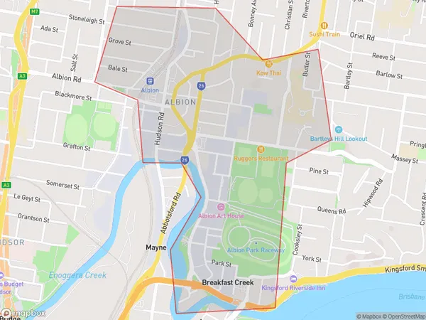
AlbionAlbion Suburb Area Map (Polygon)

Albion Introduction
Albion is a suburb in the inner city of Brisbane, Queensland, Australia. It is located 4 kilometers northwest of the Brisbane CBD and is bordered by the suburbs of New Farm, Teneriffe, and Fortitude Valley. The suburb has a rich history and was originally developed as a farming community in the 1800s. It is known for its historic buildings, including the Albion Hotel and the Albion Park Racecourse. Today, Albion is a popular residential area with a mix of apartments, townhouses, and detached homes. It is also home to a number of parks and recreational facilities, including the Albion Parklands and the Brisbane Riverwalk.State Name
City or Big Region
District or Regional Area
Suburb Name
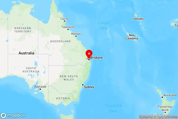
Albion Region Map

Country
Main Region in AU
R1Coordinates
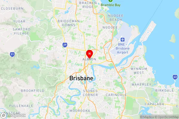
-27.4307455,153.0427215 (latitude/longitude)Albion Area Map (Street)

Longitude
153.04354Latitude
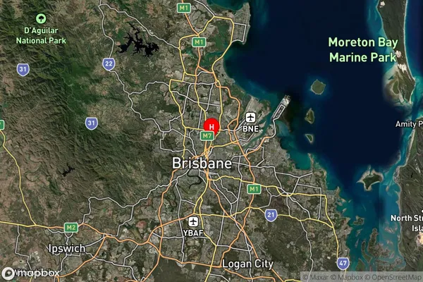
-27.433237Albion Suburb Map (Satellite)

Distances
The distance from Albion, Brisbane Inner City, QLD to AU Greater Capital CitiesSA1 Code 2011
30503111908SA1 Code 2016
30503111909SA2 Code
305031119SA3 Code
30503SA4 Code
305RA 2011
1RA 2016
1MMM 2015
1MMM 2019
1Charge Zone
Q1LGA Region
BrisbaneLGA Code
31000Electorate
Brisbane