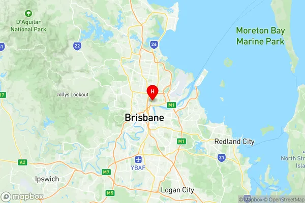
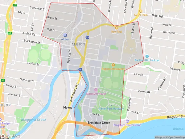
Albion Suburbs & Region, Albion Map & Postcodes
Albion Suburbs & Region, Albion Map & Postcodes in Albion, Brisbane Inner North, Brisbane Inner City, QLD, AU
Albion Region
Region Name
Albion (QLD, AU)Albion Area
1.51 square kilometers (1.51 ㎢)Postal Codes
4010 (In total, there are 1 postcodes in Albion.)Albion Introduction
Albion is a suburb in the City of Brisbane, Queensland, Australia. It is located 5 kilometers northwest of the Brisbane CBD and is part of the Inner North Brisbane region. The suburb has a population of around 10,000 people and is known for its vibrant community and historic buildings. The suburb was named after the British Isles and was developed in the late 19th century. It is home to a number of heritage-listed buildings, including the Albion Hotel and the Albion Park Racecourse. Albion Park Racecourse is one of the oldest horse racing tracks in Australia and is a popular destination for locals and tourists alike. The suburb is also home to a number of parks and recreational facilities, including the Albion Parklands and the Albion Park Rail Trail. The Albion Park Rail Trail is a popular walking and cycling path that follows the former railway line through the suburb. Albion is a diverse suburb with a mix of residential, commercial, and industrial areas. It is known for its multicultural community and has a number of ethnic restaurants and grocery stores. The suburb is also home to a number of healthcare facilities, including the Prince Charles Hospital and the Royal Brisbane and Women's Hospital. Overall, Albion is a vibrant and diverse suburb with a lot to offer its residents and visitors. Its historic buildings, parks, and recreational facilities make it a popular destination for those who want to experience the best of what Brisbane has to offer.Australia State
City or Big Region
Greater Capital City
Greater Brisbane (3GBRI)District or Regional Area
Suburb Name
Albion Region Map

Albion Postcodes / Zip Codes
Albion Suburbs
Albion full address
Albion, Brisbane Inner North, Brisbane Inner City, Queensland, QLD, Australia, SaCode: 305031119Country
Albion, Brisbane Inner North, Brisbane Inner City, Queensland, QLD, Australia, SaCode: 305031119
Albion Suburbs & Region, Albion Map & Postcodes has 0 areas or regions above, and there are 4 Albion suburbs below. The sa2code for the Albion region is 305031119. Its latitude and longitude coordinates are -27.4305,153.046. Albion area belongs to Australia's greater capital city Greater Brisbane.
Albion Suburbs & Localities
1. Albion Bc
2. Breakfast Creek
3. Albion
4. Albion Dc
