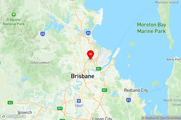
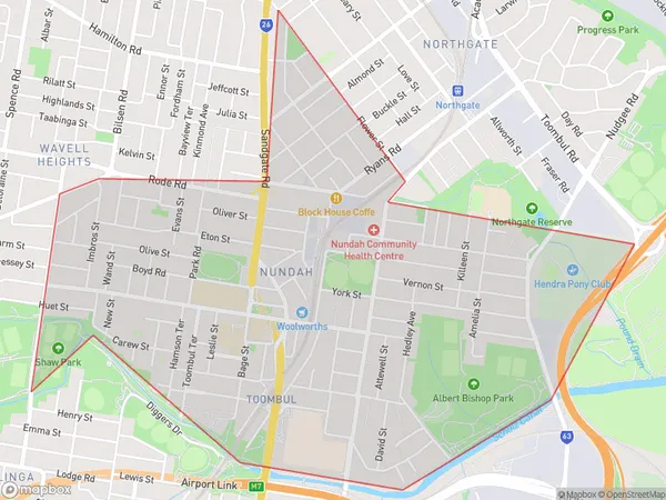
Nundah Suburbs & Region, Nundah Map & Postcodes
Nundah Suburbs & Region, Nundah Map & Postcodes in Nundah, Brisbane Inner North, Brisbane Inner City, QLD, AU
Nundah Region
Region Name
Nundah (QLD, AU)Nundah Area
3.67 square kilometers (3.67 ㎢)Postal Codes
4012 (In total, there are 1 postcodes in Nundah.)Nundah Introduction
Nundah is a suburb in the City of Brisbane, Queensland, Australia. It is located 5 kilometers (3.1 mi) northwest of the Brisbane CBD. Nundah is represented by two members on the Brisbane City Council, with one each from the Labor and Liberal parties. The suburb is named after the Nundah Creek, which flows through it. Nundah has a variety of shops, restaurants, and parks, including Nundah Village Shopping Centre and Nundah Park. The suburb is also home to several educational institutions, including Nundah State School and Nundah College.Australia State
City or Big Region
Greater Capital City
Greater Brisbane (3GBRI)District or Regional Area
Suburb Name
Nundah Region Map

Nundah Postcodes / Zip Codes
Nundah Suburbs
Nundah full address
Nundah, Brisbane Inner North, Brisbane Inner City, Queensland, QLD, Australia, SaCode: 302031040Country
Nundah, Brisbane Inner North, Brisbane Inner City, Queensland, QLD, Australia, SaCode: 302031040
Nundah Suburbs & Region, Nundah Map & Postcodes has 0 areas or regions above, and there are 2 Nundah suburbs below. The sa2code for the Nundah region is 302031040. Its latitude and longitude coordinates are -27.4035,153.06. Nundah area belongs to Australia's greater capital city Greater Brisbane.
Nundah Suburbs & Localities
1. Nundah
2. Toombul
