Kalinga Area, Kalinga Postcode(4030) & Map in Kalinga, Brisbane Inner City, QLD
Kalinga Area, Kalinga Postcode(4030) & Map in Kalinga, Brisbane Inner City, QLD, AU, Postcode: 4030
Kalinga, Wooloowin - Lutwyche, Brisbane Inner - North, Brisbane Inner City, Queensland, Australia, 4030
Kalinga Postcode
Area Name
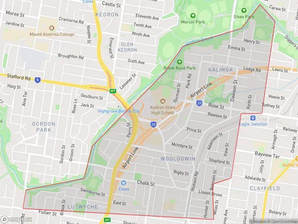
KalingaKalinga Suburb Area Map (Polygon)

Kalinga Introduction
Kalinga is a suburb in the Brisbane Inner City, Queensland, Australia. It is located 4 kilometers from the Brisbane CBD and is home to a diverse population of over 10,000 people. The suburb has a rich cultural heritage, with many residents from India, Pakistan, Bangladesh, and Sri Lanka. Kalinga is known for its vibrant community spirit, with many community events and festivals held throughout the year. The suburb also has a number of parks and recreational facilities, including a cricket ground, a basketball court, and a swimming pool.State Name
City or Big Region
District or Regional Area
Suburb Name
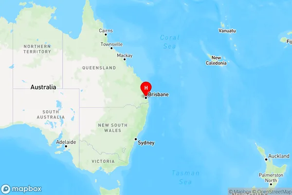
Kalinga Region Map

Country
Main Region in AU
R1Coordinates
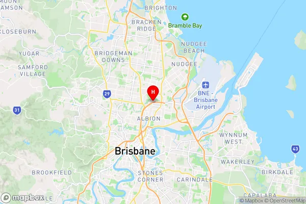
-27.4104,153.048 (latitude/longitude)Kalinga Area Map (Street)

Longitude
153.029681Latitude
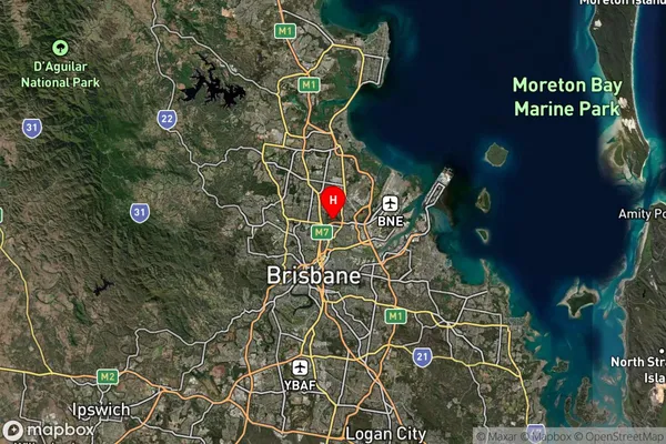
-27.42687Kalinga Suburb Map (Satellite)

Distances
The distance from Kalinga, Brisbane Inner City, QLD to AU Greater Capital CitiesSA1 Code 2011
30503113101SA1 Code 2016
30503113101SA2 Code
305031131SA3 Code
30503SA4 Code
305RA 2011
1RA 2016
1MMM 2015
1MMM 2019
1Charge Zone
Q1LGA Region
BrisbaneLGA Code
31000Electorate
Brisbane