Newstead Area, Newstead Postcode(4006) & Map in Newstead, Brisbane Inner City, QLD
Newstead Area, Newstead Postcode(4006) & Map in Newstead, Brisbane Inner City, QLD, AU, Postcode: 4006
Newstead, Newstead - Bowen Hills, Brisbane Inner - North, Brisbane Inner City, Queensland, Australia, 4006
Newstead Postcode
Area Name
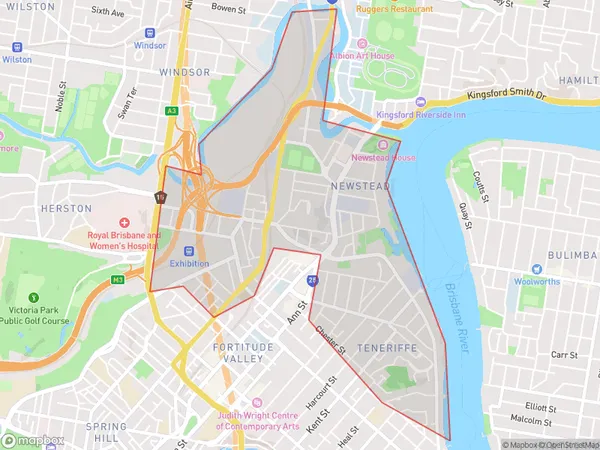
NewsteadNewstead Suburb Area Map (Polygon)

Newstead Introduction
Newstead is a suburb in Brisbane, Australia, 5 kilometers (3.1 mi) from the CBD. It is bordered by the Brisbane River to the north and the Merthyr Road railway line to the south. The suburb has a variety of housing styles, including old Queenslander houses and modern apartments. It is known for its vibrant arts scene, with several galleries and studios located in the area. Newstead also has a popular pub and restaurant scene, with many locals enjoying the outdoor terrace of the Newstead Hotel.State Name
City or Big Region
District or Regional Area
Suburb Name
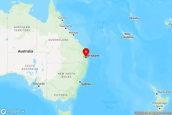
Newstead Region Map

Country
Main Region in AU
R1Coordinates
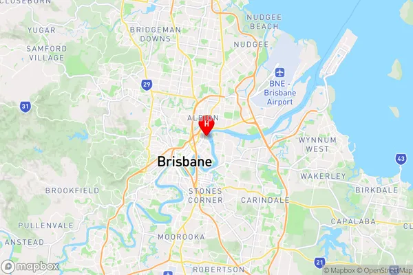
-27.4476365,153.0456652 (latitude/longitude)Newstead Area Map (Street)

Longitude
153.175242Latitude
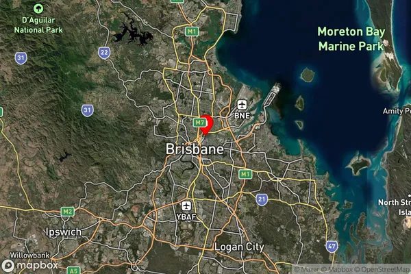
-27.36618Newstead Suburb Map (Satellite)

Distances
The distance from Newstead, Brisbane Inner City, QLD to AU Greater Capital CitiesSA1 Code 2011
30503112811SA1 Code 2016
30503112811SA2 Code
305031128SA3 Code
30503SA4 Code
305RA 2011
1RA 2016
1MMM 2015
1MMM 2019
1Charge Zone
Q1LGA Region
BrisbaneLGA Code
31000Electorate
Brisbane