Logan Beaudesert Suburbs & Region, Logan Beaudesert Map & Postcodes
Logan Beaudesert Suburbs & Region, Logan Beaudesert Map & Postcodes in Logan Beaudesert, QLD, AU
Logan Beaudesert Region
Region Name
Logan Beaudesert (QLD, AU)Logan Beaudesert Area
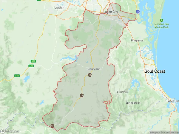
2586 square kilometers (2,586 ㎢)Postal Codes
4114, from 4117 to 4119, from 4123 to 4125, from 4127 to 4133, 4205, 4207, 4270, 4275, 4280, 4285, and 4287 (In total, there are 21 postcodes in Logan Beaudesert.)Logan Beaudesert Introduction
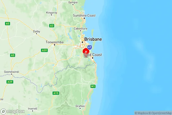
Logan Beaudesert is a locality in the City of Logan, Queensland, Australia. It is located 22 kilometers south of the state capital, Brisbane. The locality is part of the South East Queensland region. Logan Beaudesert has a population of around 11,000 people and is known for its agricultural industry, with many farms and orchards in the area. The Logan River runs through the locality, and the Logan City Council operates a number of parks and recreational facilities in the area. The Logan Beaudesert Industrial Estate is also a major employer in the region.Australia State
City or Big Region
Logan Beaudesert Region Map

Logan Beaudesert Postcodes / Zip Codes
Logan Beaudesert Suburbs
Beaudesert
Browns Plains
Loganlea Carbrook
Springwood Kingston
Logan Beaudesert full address
Logan Beaudesert, Queensland, QLD, Australia, SaCode: 311Country
Logan Beaudesert, Queensland, QLD, Australia, SaCode: 311
Logan Beaudesert Suburbs & Region, Logan Beaudesert Map & Postcodes has 6 areas or regions above, and there are 146 Logan Beaudesert suburbs below. The sa4code for the Logan Beaudesert region is 311. Its latitude and longitude coordinates are -27.9879,153.16.
Logan Beaudesert Suburbs & Localities
1. Rochedale
2. Karawatha
3. Tamborine
4. Flying Fox
5. Alberton
6. Kagaru
7. Barney View
8. Park Ridge
9. Boronia Heights
10. Browns Plains
11. Chambers Flat
12. Crestmead
13. South Maclean
14. Bethania
15. Carbrook
16. Logandale
17. Tanah Merah
18. Meadowbrook
19. Daisy Hill
20. Kingston
21. Underwood
