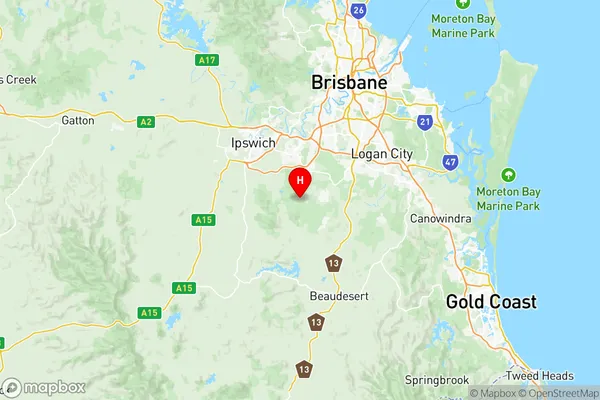
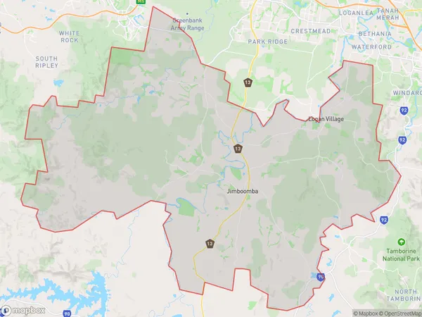
Jimboomba Suburbs & Region, Jimboomba Map & Postcodes
Jimboomba Suburbs & Region, Jimboomba Map & Postcodes in Jimboomba, Logan Beaudesert, QLD, AU
Jimboomba Region
Region Name
Jimboomba (QLD, AU)Jimboomba Area
582.43 square kilometers (582.43 ㎢)Postal Codes
4124, 4270, 4280, and 4285 (In total, there are 4 postcodes in Jimboomba.)Jimboomba Introduction
Jimboomba is a locality in the City of Logan, Queensland, Australia. It is part of the South East Queensland region. At the 2011 Australian census, Jimboomba recorded a population of 11,633. The suburb is named after the Jimboomba River, which flows through it. The river is a tributary of the Logan River. Jimboomba has a variety of shopping centers, including the Jimboomba Shopping Centre and the Grand Plaza Shopping Centre. It also has a number of parks and recreational facilities, including the Jimboomba Sports Park and the Jimboomba City Park. The suburb is home to a number of schools, including Jimboomba State High School and St John's College.Australia State
City or Big Region
District or Regional Area
Jimboomba Region Map

Jimboomba Postcodes / Zip Codes
Jimboomba Suburbs
Greenbank Military Camp
Flagstone (East) Riverbend
Flagstone (West) New Beith
Greenbank North Maclean
Jimboomba Glenlogan
Jimboomba full address
Jimboomba, Logan Beaudesert, Queensland, QLD, Australia, SaCode: 31104Country
Jimboomba, Logan Beaudesert, Queensland, QLD, Australia, SaCode: 31104
Jimboomba Suburbs & Region, Jimboomba Map & Postcodes has 10 areas or regions above, and there are 51 Jimboomba suburbs below. The sa3code for the Jimboomba region is 31104. Its latitude and longitude coordinates are -27.7553,152.889.
Jimboomba Suburbs & Localities
1. Boronia Heights
2. Greenbank
3. New Beith
4. Tamborine
5. Tamborine Village
6. Flagstone
7. Allenview
8. Bromelton
9. Christmas Creek
10. Kooralbyn
11. Monarch Glen
12. Nindooinbah
13. Tabragalba
14. Tamrookum Creek
15. Veresdale Scrub
16. South Maclean
17. Stockleigh
18. Cainbable
19. Cedar Grove
20. Cryna
21. Darlington
22. Ilbogan
23. Josephville
24. Kagaru
25. Knapp Creek
26. Mount Gipps
27. Tamrookum
28. Undullah
29. Lyons
30. Silverbark Ridge
31. North Maclean
32. Beaudesert
33. Chinghee Creek
34. Gleneagle
35. Innisplain
36. Kerry
37. Mundoolun
38. Glenlogan
39. Jimboomba
40. Maclean
41. Riverbend
42. Birnam
43. Cedar Vale
44. Flinders Lakes
45. Hillview
46. Lamington
47. Laravale
48. Oaky Creek
49. Tabooba
50. Veresdale
51. Woodhill
