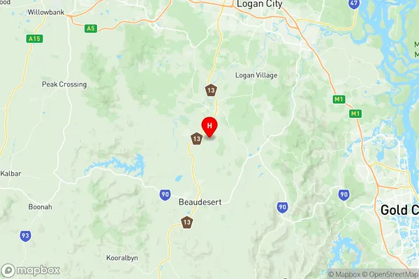
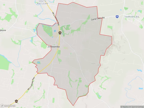
Jimboomba Suburbs & Region, Jimboomba Map & Postcodes
Jimboomba Suburbs & Region, Jimboomba Map & Postcodes in Jimboomba, Logan Beaudesert, QLD, AU
Jimboomba Region
Region Name
Jimboomba (QLD, AU)Postal Codes
4207, 4280, and 4285 (In total, there are 3 postcodes in Jimboomba.)Jimboomba Introduction
Jimboomba is a locality in the City of Logan, Queensland, Australia. It is part of the South East Queensland region. At the 2011 Australian census, Jimboomba recorded a population of 10,594. The name Jimboomba is derived from the Yugambeh language, meaning "place of water". The locality is surrounded by the Jimboomba Mountains and is located approximately 65 kilometres south-west of the state capital, Brisbane. Jimboomba has a variety of attractions, including the Jimboomba Falls, a series of waterfalls on the Logan River. The town also has a shopping centre, a hospital, and a number of parks and recreational facilities. The area is known for its agricultural industry, with a number of farms and orchards located in the surrounding area. The town is also a popular destination for tourists, with a number of holiday parks and resorts located in the area.Australia State
City or Big Region
District or Regional Area
Suburb Name
Jimboomba Region Map

Jimboomba Postcodes / Zip Codes
Jimboomba Suburbs
Jimboomba full address
Jimboomba, Logan Beaudesert, Queensland, QLD, Australia, SaCode: 311041321Country
Jimboomba, Logan Beaudesert, Queensland, QLD, Australia, SaCode: 311041321
Jimboomba Suburbs & Region, Jimboomba Map & Postcodes has 0 areas or regions above, and there are 11 Jimboomba suburbs below. The sa2code for the Jimboomba region is 311041321. Its latitude and longitude coordinates are -27.8797,153.015.
Jimboomba Suburbs & Localities
1. Kairabah
2. Flagstone
3. Cedar Grove
4. Yarrabilba
5. Mundoolun
6. Glenlogan
7. Jimboomba
8. Riverbend
9. Cedar Vale
10. Veresdale
11. Woodhill
