Glenlogan Area, Glenlogan Postcode(4280) & Map in Glenlogan, Logan - Beaudesert, QLD
Glenlogan Area, Glenlogan Postcode(4280) & Map in Glenlogan, Logan - Beaudesert, QLD, AU, Postcode: 4280
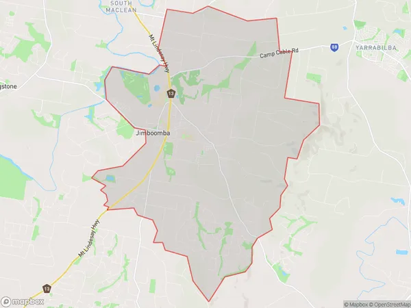
Glenlogan, Jimboomba, Jimboomba, Logan - Beaudesert, Queensland, Australia, 4280
Glenlogan Postcode
Area Name
GlenloganGlenlogan Suburb Area Map (Polygon)
Glenlogan Introduction
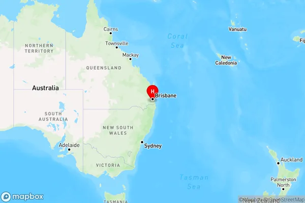
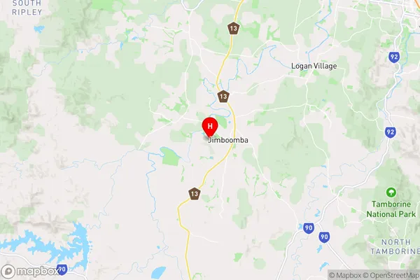
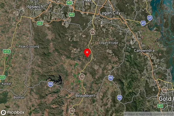
Glenlogan is a suburb of Logan in Queensland, Australia, located 25 kilometers south of Brisbane. It is known for its rural atmosphere and scenic surroundings, with many residents enjoying outdoor activities such as hiking and camping. The suburb has a population of approximately 10,000 people and is home to several schools, including a primary school and a high school.State Name
City or Big Region
District or Regional Area
Suburb Name
Glenlogan Region Map
Country
Main Region in AU
R3Coordinates
-27.8319,153.005 (latitude/longitude)Glenlogan Area Map (Street)
Longitude
153.001567Latitude
-27.83399703Glenlogan Elevation
about 41.49 meters height above sea level (Altitude)Glenlogan Suburb Map (Satellite)
Distances
The distance from Glenlogan, Logan - Beaudesert, QLD to AU Greater Capital CitiesSA1 Code 2011
31104132127SA1 Code 2016
31104132127SA2 Code
311041321SA3 Code
31104SA4 Code
311RA 2011
2RA 2016
2MMM 2015
2MMM 2019
2Charge Zone
Q1LGA Region
LoganLGA Code
34590Electorate
Wright