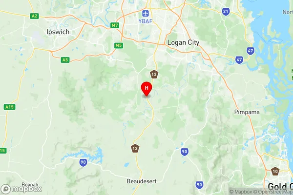
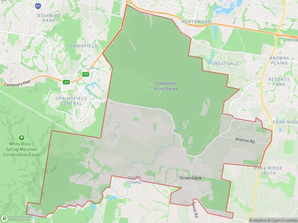
Greenbank Suburbs & Region, Greenbank Map & Postcodes
Greenbank Suburbs & Region, Greenbank Map & Postcodes in Greenbank, Jimboomba, Logan Beaudesert, QLD, AU
Greenbank Region
Region Name
Greenbank (QLD, AU)Postal Codes
4124, 4280, and 4285 (In total, there are 3 postcodes in Greenbank.)Greenbank Introduction
Greenbank is a locality in the City of Logan, Queensland, Australia. In the 2011 census, Greenbank had a population of 3,344 people. Greenbank is located 16 kilometres south of the Logan City Centre and is part of the Logan River Valley. The suburb is named after the Greenbank railway station, which was opened on 1 October 1889. The station was closed on 1 July 1974. Greenbank is a popular suburb with a variety of housing options, including single-family homes, duplexes, and units. The suburb has a number of parks and recreational facilities, including a swimming pool, a cricket club, and a golf course. Greenbank is also home to a number of schools, including Greenbank State School and Greenbank College. The suburb is well-connected to the rest of the city, with easy access to the M1 motorway and the Logan Airport. Greenbank is also a short drive from the Gold Coast and the Sunshine Coast.Australia State
City or Big Region
District or Regional Area
Suburb Name
Greenbank Region Map

Greenbank Postcodes / Zip Codes
Greenbank Suburbs
Greenbank full address
Greenbank, Jimboomba, Logan Beaudesert, Queensland, QLD, Australia, SaCode: 311041320Country
Greenbank, Jimboomba, Logan Beaudesert, Queensland, QLD, Australia, SaCode: 311041320
Greenbank Suburbs & Region, Greenbank Map & Postcodes has 0 areas or regions above, and there are 8 Greenbank suburbs below. The sa2code for the Greenbank region is 311041320. Its latitude and longitude coordinates are -27.78,153.01.
Greenbank Suburbs & Localities
1. New Beith
2. Monarch Glen
3. South Maclean
4. Lyons
5. Silverbark Ridge
6. North Maclean
7. Maclean
8. Flinders Lakes
