Greenbank Area, Greenbank Postcode(4124) & Map in Greenbank, Logan - Beaudesert, QLD
Greenbank Area, Greenbank Postcode(4124) & Map in Greenbank, Logan - Beaudesert, QLD, AU, Postcode: 4124
Greenbank, Greenbank Military Camp, Browns Plains, Logan - Beaudesert, Queensland, Australia, 4124
Greenbank Postcode
Area Name
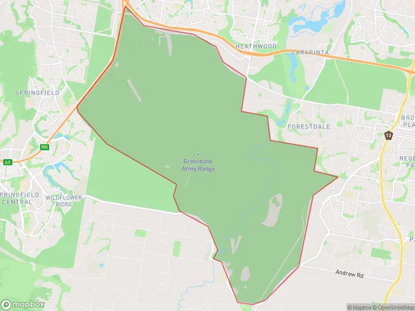
GreenbankGreenbank Suburb Area Map (Polygon)

Greenbank Introduction
Greenbank is a locality in the City of Logan, Queensland, Australia. It is located 16 kilometers south of the Logan City center. At the 2011 Australian census, Greenbank recorded a population of 5,031 people. Greenbank is a planned community with a variety of housing styles and sizes. It has a number of parks and recreational facilities, including a sports complex, a swimming pool, and a golf course.State Name
City or Big Region
District or Regional Area
Suburb Name
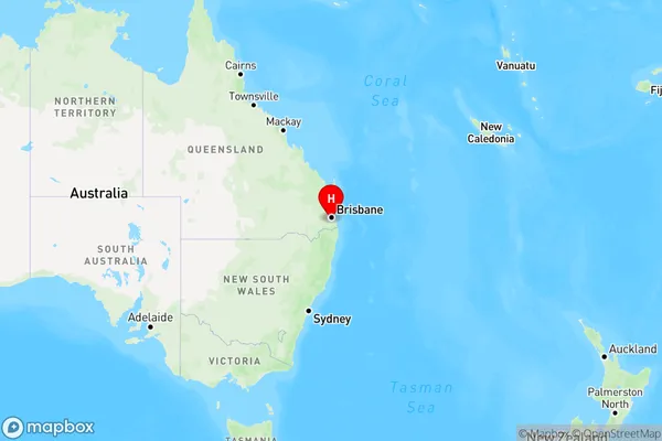
Greenbank Region Map

Country
Main Region in AU
R3Coordinates
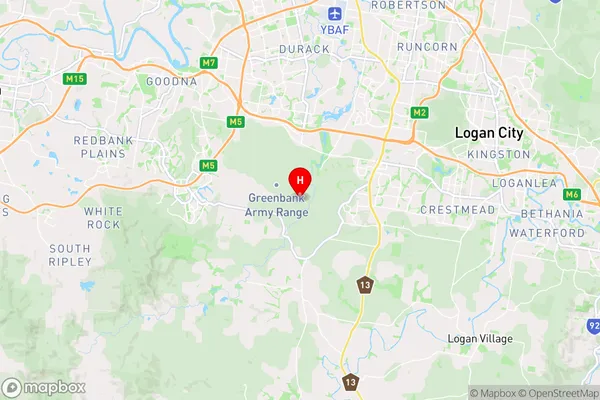
-27.683333,152.983333 (latitude/longitude)Greenbank Area Map (Street)

Longitude
152.967761Latitude
-27.701681Greenbank Elevation
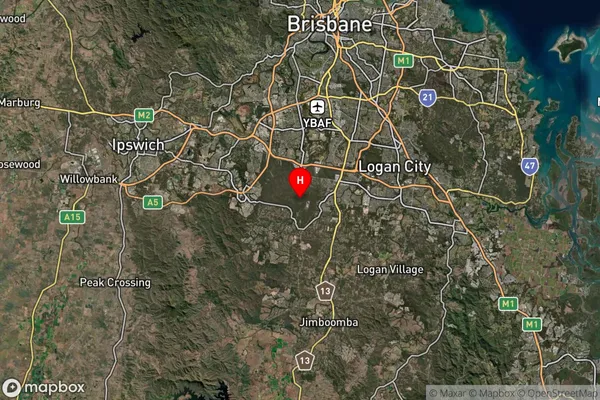
about 73.98 meters height above sea level (Altitude)Greenbank Suburb Map (Satellite)

Distances
The distance from Greenbank, Logan - Beaudesert, QLD to AU Greater Capital CitiesSA1 Code 2011
31103131501SA1 Code 2016
31103131501SA2 Code
311031315SA3 Code
31103SA4 Code
311RA 2011
1RA 2016
1MMM 2015
1MMM 2019
1Charge Zone
Q1LGA Region
LoganLGA Code
34590Electorate
Wright