Loganlea Carbrook Suburbs & Region, Loganlea Carbrook Map & Postcodes
Loganlea Carbrook Suburbs & Region, Loganlea Carbrook Map & Postcodes in Loganlea Carbrook, Logan Beaudesert, QLD, AU
Loganlea Carbrook Region
Region Name
Loganlea Carbrook (QLD, AU)Loganlea Carbrook Area
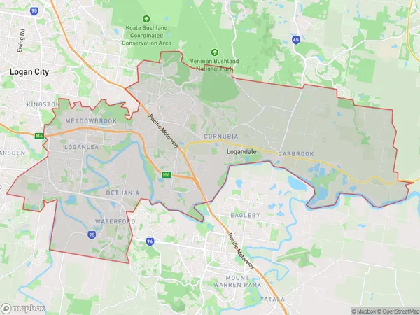
88.73 square kilometers (88.73 ㎢)Loganlea Carbrook Suburb Area Map (Polygon)
Loganlea Carbrook Introduction
Loganlea Carbrook is a locality in the City of Logan, Queensland, Australia. It is located 16 kilometers south of the Logan City center. The suburb is named after Logan River, which flows through it. Loganlea is a planned community with a variety of housing types, including single-family homes, duplexes, and apartments. It has a number of parks and recreational facilities, including a cricket club, a golf course, and a swimming pool. The suburb is also home to a number of businesses, including a shopping center and a medical center. Loganlea is a popular location for families and young professionals, with good access to public transportation and a variety of amenities.Australia State
City or Big Region
District or Regional Area
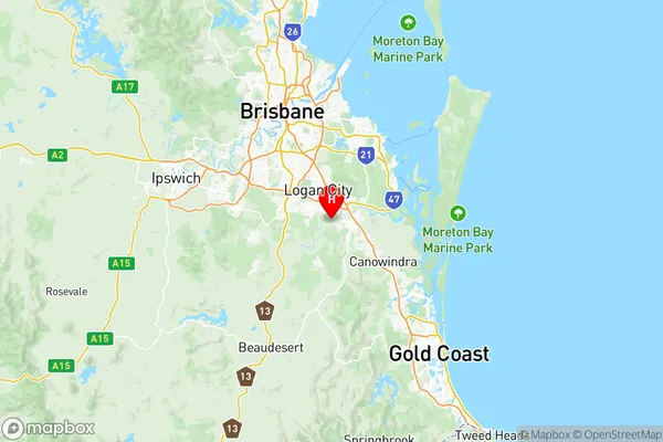
Loganlea Carbrook Region Map
Loganlea Carbrook Suburbs
Edens Landing Holmview
Mount Warren Park
Wolffdene Bahrs Scrub
Chambers Flat Logan Reserve
Bethania Waterford
Cornubia Carbrook
Loganholme Tanah Merah
Loganlea Carbrook full address
Loganlea Carbrook, Logan Beaudesert, Queensland, QLD, Australia, SaCode: 31105Country
Loganlea Carbrook, Logan Beaudesert, Queensland, QLD, Australia, SaCode: 31105
Loganlea Carbrook Suburbs & Region, Loganlea Carbrook Map & Postcodes has 11 areas or regions above, and there are 0 Loganlea Carbrook suburbs below. The sa3code for the Loganlea Carbrook region is 31105. Its latitude and longitude coordinates are -27.7108,153.147.