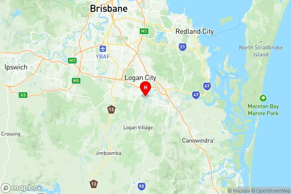
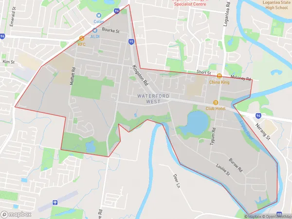
Waterford West Suburbs & Region, Waterford West Map & Postcodes
Waterford West Suburbs & Region, Waterford West Map & Postcodes in Waterford West, Loganlea Carbrook, Logan Beaudesert, QLD, AU
Waterford West Region
Region Name
Waterford West (QLD, AU)Waterford West Area
5.94 square kilometers (5.94 ㎢)Postal Codes
4133 (In total, there are 1 postcodes in Waterford West.)Waterford West Introduction
Waterford West is a locality in the City of Logan, Queensland, Australia. It is part of the South East Queensland region. The post office opened on 1 October 1924 and was closed on 1 March 1974. The locality is named after Waterford, County Waterford, Ireland. It is one of several suburbs in Logan that were named after places in Ireland. Waterford West is a semi-rural area with a mix of residential and agricultural properties. The suburb has a primary school, a community hall, and a cricket club. The Logan River runs through the suburb, and there are several parks and recreational facilities. The population of Waterford West was {SSN} at the 2011 Australian census. The suburb has a median age of 37 and a median household income of $75,000.Australia State
City or Big Region
Greater Capital City
Greater Brisbane (3GBRI)District or Regional Area
Suburb Name
Waterford West Region Map

Waterford West Postcodes / Zip Codes
Waterford West Suburbs
Waterford West full address
Waterford West, Loganlea Carbrook, Logan Beaudesert, Queensland, QLD, Australia, SaCode: 311051328Country
Waterford West, Loganlea Carbrook, Logan Beaudesert, Queensland, QLD, Australia, SaCode: 311051328
Waterford West Suburbs & Region, Waterford West Map & Postcodes has 0 areas or regions above, and there are 1 Waterford West suburbs below. The sa2code for the Waterford West region is 311051328. Its latitude and longitude coordinates are -27.6911,153.128. Waterford West area belongs to Australia's greater capital city Greater Brisbane.
Waterford West Suburbs & Localities
1. Waterford West
