Bannockburn Area, Bannockburn Postcode(4207) & Map in Bannockburn, Logan - Beaudesert, QLD
Bannockburn Area, Bannockburn Postcode(4207) & Map in Bannockburn, Logan - Beaudesert, QLD, AU, Postcode: 4207
Bannockburn, Wolffdene - Bahrs Scrub, Beenleigh, Logan - Beaudesert, Queensland, Australia, 4207
Bannockburn Postcode
Area Name
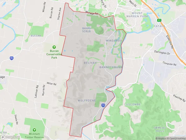
BannockburnBannockburn Suburb Area Map (Polygon)

Bannockburn Introduction
Bannockburn is a locality in the Logan City, Queensland, Australia. It is located 21 kilometers south of Brisbane's central business district. Bannockburn is a planned community with a variety of housing styles and sizes. It has a variety of shops, parks, and recreational facilities, including a golf course and a swimming pool. Bannockburn is also home to several major businesses, including a technology park and a logistics center.State Name
City or Big Region
District or Regional Area
Suburb Name
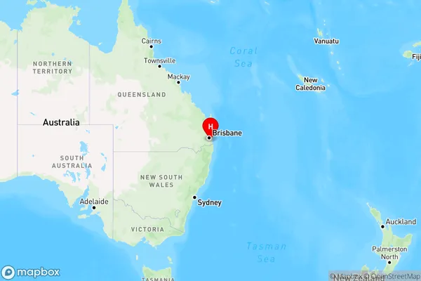
Bannockburn Region Map

Country
Main Region in AU
R2Coordinates
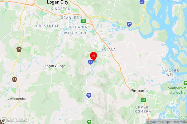
-27.76,153.192222 (latitude/longitude)Bannockburn Area Map (Street)

Longitude
153.204523Latitude
-27.733991Bannockburn Elevation
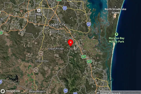
about 42.13 meters height above sea level (Altitude)Bannockburn Suburb Map (Satellite)

Distances
The distance from Bannockburn, Logan - Beaudesert, QLD to AU Greater Capital CitiesSA1 Code 2011
31102131005SA1 Code 2016
31102131005SA2 Code
311021310SA3 Code
31102SA4 Code
311RA 2011
1RA 2016
1MMM 2015
1MMM 2019
1Charge Zone
Q1LGA Region
LoganLGA Code
34590Electorate
Wright