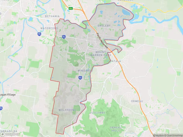
Beenleigh Suburbs & Region, Beenleigh Map & Postcodes
Beenleigh Suburbs & Region, Beenleigh Map & Postcodes in Beenleigh, Logan Beaudesert, QLD, AU
Beenleigh Region
Region Name
Beenleigh (QLD, AU)Beenleigh Area
60.15 square kilometers (60.15 ㎢)Beenleigh Introduction
Beenleigh is a suburb in the City of Logan, Queensland, Australia. It is located 17 kilometers south-west of Brisbane's central business district. At the 2011 Australian census, Beenleigh had a population of 36,378 people. Beenleigh is known for its historic timber mills, which have been converted into a shopping and entertainment precinct. The suburb also has a large industrial area and is home to several major companies, including Coca-Cola Amatil and BHP Billiton. The Beenleigh rail line connects the suburb to Brisbane and the Gold Coast, and there are several bus routes serving the area. The suburb has several parks and recreational facilities, including a sports complex, a golf course, and several walking trails. Beenleigh is a popular residential area for families and young professionals, with a variety of housing options available, including apartments, townhouses, and houses. The suburb has a strong sense of community and is home to several local festivals and events throughout the year.Australia State
City or Big Region
Greater Capital City
Greater Brisbane (3GBRI)District or Regional Area
Beenleigh Suburbs
Beenleigh full address
Beenleigh, Logan Beaudesert, Queensland, QLD, Australia, SaCode: 31102Country
Beenleigh, Logan Beaudesert, Queensland, QLD, Australia, SaCode: 31102
Beenleigh Suburbs & Region, Beenleigh Map & Postcodes has 0 areas or regions above, and there are 0 Beenleigh suburbs below. The sa3code for the Beenleigh region is 31102. Beenleigh area belongs to Australia's greater capital city Greater Brisbane.
