Woongoolba Area, Woongoolba Postcode(4207) & Map in Woongoolba, Gold Coast, QLD
Woongoolba Area, Woongoolba Postcode(4207) & Map in Woongoolba, Gold Coast, QLD, AU, Postcode: 4207
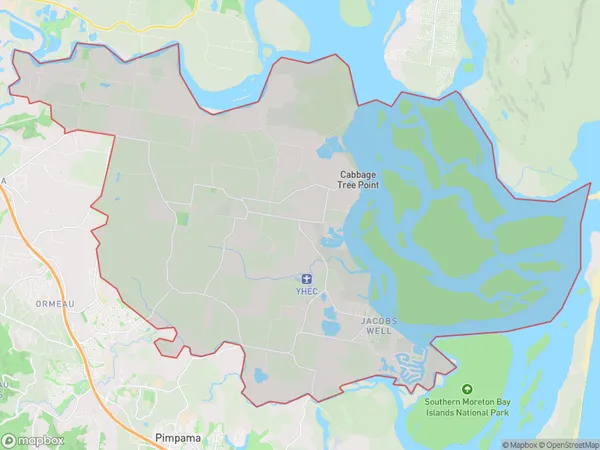
Woongoolba, Jacobs Well - Alberton, Ormeau - Oxenford, Gold Coast, Queensland, Australia, 4207
Woongoolba Postcode
Area Name
WoongoolbaWoongoolba Suburb Area Map (Polygon)
Woongoolba Introduction
Woongoolba is a suburb of the Gold Coast in Queensland, Australia, located 40 kilometers south of Brisbane. It is known for its natural beauty, including the Woongoolba Creek and the surrounding rainforest. The suburb has a population of approximately 10,000 people and is home to a variety of amenities, including schools, shopping centers, and parks.State Name
City or Big Region
District or Regional Area
Suburb Name
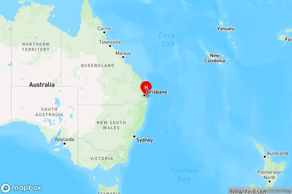
Woongoolba Region Map
Country
Main Region in AU
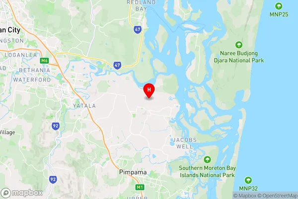
R2Coordinates
-27.7275,153.314722 (latitude/longitude)Woongoolba Area Map (Street)
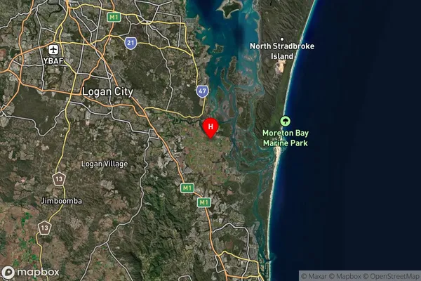
Longitude
153.204523Latitude
-27.733991Woongoolba Elevation
about 42.13 meters height above sea level (Altitude)Woongoolba Suburb Map (Satellite)
Distances
The distance from Woongoolba, Gold Coast, QLD to AU Greater Capital CitiesSA1 Code 2011
30907125409SA1 Code 2016
30907125409SA2 Code
309071254SA3 Code
30907SA4 Code
309RA 2011
2RA 2016
2MMM 2015
2MMM 2019
2Charge Zone
Q1LGA Region
LoganLGA Code
34590Electorate
Wright