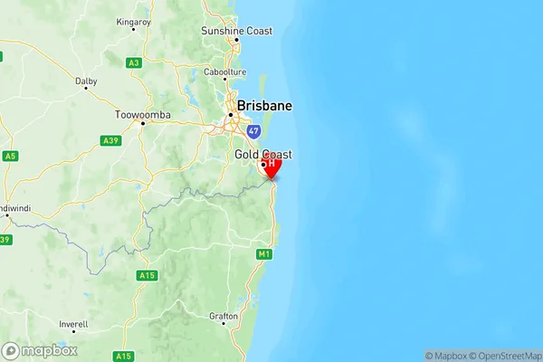
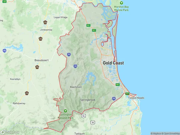
Gold Coast Suburbs & Region, Gold Coast Map & Postcodes
Gold Coast Suburbs & Region, Gold Coast Map & Postcodes in Gold Coast, QLD, AU
Gold Coast Region
Region Name
Gold Coast (QLD, AU)Gold Coast Area
1858 square kilometers (1,858 ㎢)Postal Codes
2484, 2485, from 4208 to 4221, from 4223 to 4230, 4271, 4272, 4871, and 9726 (In total, there are 28 postcodes in Gold Coast.)Gold Coast Introduction
The Gold Coast is a metropolitan region in southeast Queensland, Australia, with a population of over 5.5 million people. It is known for its stunning beaches, lush hinterlands, and vibrant nightlife. The region is home to world-class theme parks, including Dreamworld, Warner Bros. Movie World, and Sea World, as well as numerous golf courses, shopping malls, and restaurants. The Gold Coast is also a popular destination for tourists, with many visitors arriving each year to enjoy the sun, sand, and surf. The region is located approximately 60 kilometers south of Brisbane and is bordered by the Pacific Ocean to the east and the Great Dividing Range to the west.Australia State
City or Big Region
Gold Coast Region Map

Gold Coast Postcodes / Zip Codes
Gold Coast Suburbs
Broadbeach Burleigh
Coolangatta
Gold Coast North
Gold Coast Hinterland
Mudgeeraba Tallebudgera
Ormeau Oxenford
Southport
Surfers Paradise
Gold Coast full address
Gold Coast, Queensland, QLD, Australia, SaCode: 309Country
Gold Coast, Queensland, QLD, Australia, SaCode: 309
Gold Coast Suburbs & Region, Gold Coast Map & Postcodes has 10 areas or regions above, and there are 204 Gold Coast suburbs below. The sa4code for the Gold Coast region is 309. Its latitude and longitude coordinates are -28.1786,153.516.
Gold Coast Suburbs & Localities
1. Boat Harbour
2. Tweed Heads
3. Pacific Fair
4. Burleigh Dc
5. West Burleigh
6. Coolangatta
7. Currumbin
8. Tugun Heights
9. Elanora
10. Arundel
11. Biggera Waters
12. Chirn Park
13. Clagiraba
14. Austinville
15. Guanaba
16. Mount Tamborine
17. Eagle Heights
18. Tallebudgera
19. Reedy Creek
20. Coomera
21. Monterey Keys
22. Gilberton
23. Clear Island Waters
24. Bond University
25. Robina Town Centre
26. Benowa
27. Gold Coast Mc
