Nerang Suburbs & Region, Nerang Map & Postcodes
Nerang Suburbs & Region, Nerang Map & Postcodes in Nerang, Gold Coast, QLD, AU
Nerang Region
Region Name
Nerang (QLD, AU)Nerang Area
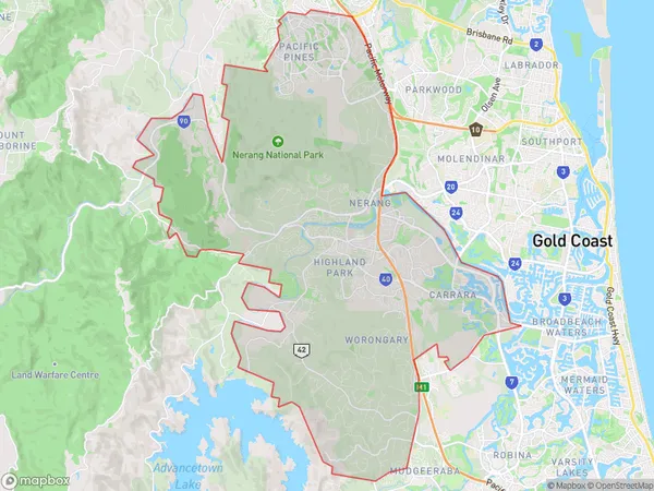
123.15 square kilometers (123.15 ㎢)Postal Codes
4213 (In total, there are 1 postcodes in Nerang.)Nerang Introduction
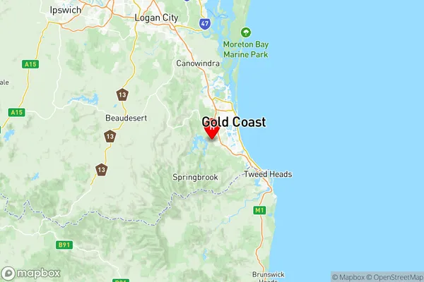
Nerang is a suburb in the City of Gold Coast, Queensland, Australia. It is located 28 kilometers south of the state capital, Brisbane, and is part of the Greater South East Queensland region. Nerang is known for its beautiful beaches, lush parks, and vibrant community. It is home to several major shopping centers, including the Westfield Shoppingtown and the Nerang Centro. The suburb also has a variety of recreational facilities, including golf courses, tennis courts, and swimming pools. Nerang is a popular destination for tourists and locals alike, with its stunning natural scenery and many attractions to explore.Australia State
City or Big Region
District or Regional Area
Nerang Region Map

Nerang Postcodes / Zip Codes
Nerang Suburbs
Guanaba Springbrook
Mudgeeraba Bonogin
Worongary Tallai
Nerang full address
Nerang, Gold Coast, Queensland, QLD, Australia, SaCode: 30906Country
Nerang, Gold Coast, Queensland, QLD, Australia, SaCode: 30906
Nerang Suburbs & Region, Nerang Map & Postcodes has 3 areas or regions above, and there are 7 Nerang suburbs below. The sa3code for the Nerang region is 30906. Its latitude and longitude coordinates are -28.0678,153.33.
Nerang Suburbs & Localities
1. Austinville
2. Neranwood
3. Tallai
4. Bonogin
5. Mudgeeraba
6. Springbrook
7. Worongary
