Coolangatta Suburbs & Region, Coolangatta Map & Postcodes
Coolangatta Suburbs & Region, Coolangatta Map & Postcodes in Coolangatta, Gold Coast, QLD, AU
Coolangatta Region
Region Name
Coolangatta (QLD, AU)Coolangatta Area
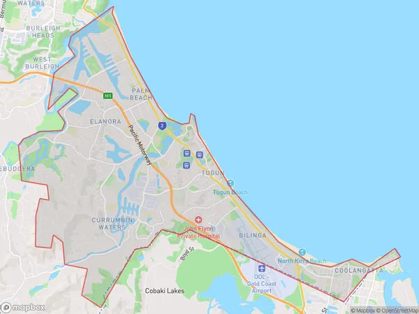
34.93 square kilometers (34.93 ㎢)Coolangatta Suburb Area Map (Polygon)
Coolangatta Introduction
Coolangatta is a suburb on the Gold Coast in Queensland, Australia. It is located between the Pacific Ocean and the Broadwater River. The suburb is known for its beaches, cafes, and nightlife. It is also home to the Coolangatta Airport and the Gold Coast Convention and Exhibition Centre. The suburb has a population of around 20,000 people.Australia State
City or Big Region
District or Regional Area
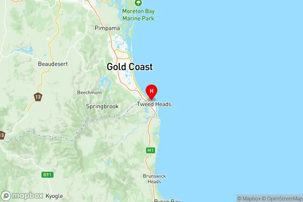
Coolangatta Region Map
Coolangatta Suburbs
Coolangatta
Currumbin Tugun
Coolangatta full address
Coolangatta, Gold Coast, Queensland, QLD, Australia, SaCode: 30902Country
Coolangatta, Gold Coast, Queensland, QLD, Australia, SaCode: 30902
Coolangatta Suburbs & Region, Coolangatta Map & Postcodes has 2 areas or regions above, and there are 0 Coolangatta suburbs below. The sa3code for the Coolangatta region is 30902. Its latitude and longitude coordinates are -28.1667,153.533.