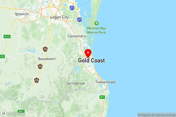
Southport Suburbs & Region, Southport Map & Postcodes
Southport Suburbs & Region, Southport Map & Postcodes in Southport, Gold Coast, QLD, AU
Southport Region
Region Name
Southport (QLD, AU)Southport Area
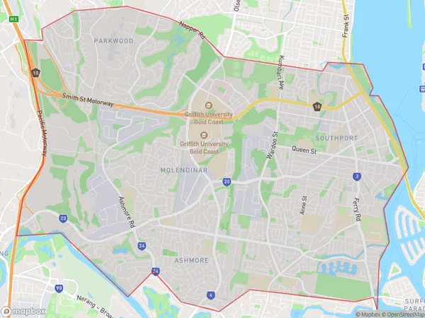
35.06 square kilometers (35.06 ㎢)Postal Codes
4214, and 4215 (In total, there are 2 postcodes in Southport.)Southport Introduction
Southport is a suburb on the Gold Coast, Queensland, Australia. It is located in the City of Gold Coast and is part of the South East Queensland region. Southport is known for its beaches, shopping, and nightlife. It is home to the Southport Broadwater Parklands, which includes a lagoon, a beach, and a park. The suburb also has a number of museums, including the Southport Museum and the Gold Coast Arts Centre. Southport is a popular tourist destination and is home to many hotels and resorts.Australia State
City or Big Region
District or Regional Area
Southport Region Map

Southport Postcodes / Zip Codes
Southport Suburbs
Southport South
Southport full address
Southport, Gold Coast, Queensland, QLD, Australia, SaCode: 30909Country
Southport, Gold Coast, Queensland, QLD, Australia, SaCode: 30909
Southport Suburbs & Region, Southport Map & Postcodes has 6 areas or regions above, and there are 15 Southport suburbs below. The sa3code for the Southport region is 30909. Its latitude and longitude coordinates are -27.9864,153.382.
Southport Suburbs & Localities
1. Arundel
2. Chirn Park
3. Labrador
4. Southport Bc
5. Ashmore
6. Arundel Dc
7. Molendinar
8. Australia Fair
9. Keebra Park
10. Arundel Bc
11. Ashmore City
12. Parkwood
13. Southport
14. Southport Park
15. Sundale
