Loganholme Bc Area, Loganholme Bc Postcode(4129) & Map in Loganholme Bc, Logan - Beaudesert, QLD
Loganholme Bc Area, Loganholme Bc Postcode(4129) & Map in Loganholme Bc, Logan - Beaudesert, QLD, AU, Postcode: 4129
Loganholme Bc, Shailer Park, Loganlea - Carbrook, Logan - Beaudesert, Queensland, Australia, 4129
Loganholme Bc Postcode
Area Name
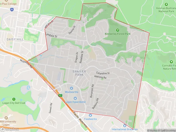
Loganholme BcLoganholme Bc Suburb Area Map (Polygon)

Loganholme Bc Introduction
Loganholme Bc, Logan - Beaudesert, QLD, AU, is a locality in the Logan City Region, Queensland, Australia. It is located about 67 kilometers south-west of the state capital, Brisbane. Loganholme Bc is a rural locality with a population of around 2,000 people. It is surrounded by the Scenic Rim Region and the Darling Downs. The locality is known for its agricultural industry, with many farms and orchards in the area. It also has a primary school and a community hall.State Name
City or Big Region
District or Regional Area
Suburb Name
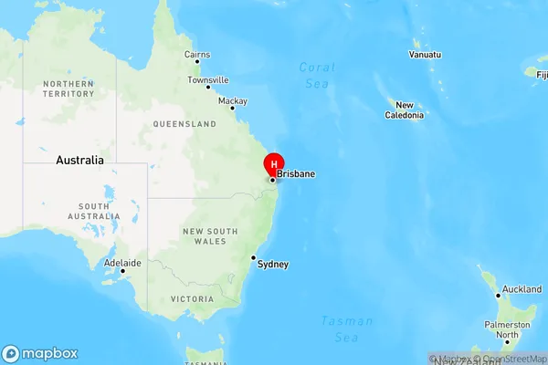
Loganholme Bc Region Map

Country
Main Region in AU
R1Coordinates
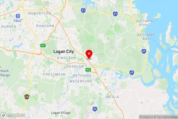
-27.6589,153.172 (latitude/longitude)Loganholme Bc Area Map (Street)

Longitude
153.186817Latitude
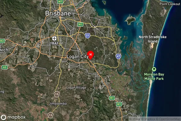
-27.681519Loganholme Bc Suburb Map (Satellite)

Distances
The distance from Loganholme Bc, Logan - Beaudesert, QLD to AU Greater Capital CitiesSA1 Code 2011
31105132711SA1 Code 2016
31105132711SA2 Code
311051327SA3 Code
31105SA4 Code
311RA 2011
1RA 2016
1MMM 2015
1MMM 2019
1Charge Zone
Q1LGA Region
LoganLGA Code
34590Electorate
Forde