Shailer Park Suburbs & Region, Shailer Park Map & Postcodes
Shailer Park Suburbs & Region, Shailer Park Map & Postcodes in Shailer Park, Loganlea Carbrook, Logan Beaudesert, QLD, AU
Shailer Park Region
Region Name
Shailer Park (QLD, AU)Shailer Park Area
8.03 square kilometers (8.03 ㎢)Shailer Park Introduction
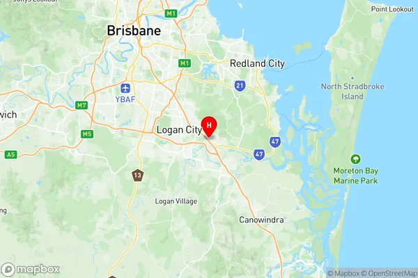
Shailer Park is a locality in the City of Logan, Queensland, Australia. It is located 17 kilometers south of the Logan City center. The park is named after the Shailer family, who were the original landowners of the area. It is a popular destination for picnics, barbecues, and walks, with a variety of facilities including playgrounds, picnic tables, barbecues, and toilets. The park also has a large lake, which is stocked with fish and is a popular spot for fishing and boating.Australia State
City or Big Region
Greater Capital City
Greater Brisbane (3GBRI)District or Regional Area
Suburb Name
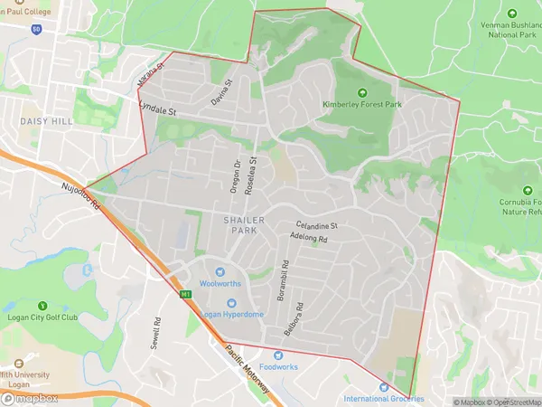
Shailer Park Region Map

Shailer Park Suburbs
Shailer Park full address
Shailer Park, Loganlea Carbrook, Logan Beaudesert, Queensland, QLD, Australia, SaCode: 311051327Country
Shailer Park, Loganlea Carbrook, Logan Beaudesert, Queensland, QLD, Australia, SaCode: 311051327
Shailer Park Suburbs & Region, Shailer Park Map & Postcodes has 0 areas or regions above, and there are 0 Shailer Park suburbs below. The sa2code for the Shailer Park region is 311051327. Its latitude and longitude coordinates are -27.6589,153.172. Shailer Park area belongs to Australia's greater capital city Greater Brisbane.
