Alberton Area, Alberton Postcode(4207) & Map in Alberton, Gold Coast, QLD
Alberton Area, Alberton Postcode(4207) & Map in Alberton, Gold Coast, QLD, AU, Postcode: 4207
Alberton, Jacobs Well - Alberton, Ormeau - Oxenford, Gold Coast, Queensland, Australia, 4207
Alberton Postcode
Area Name
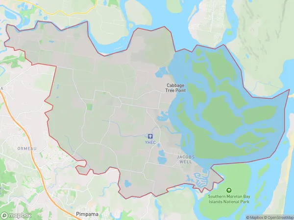
AlbertonAlberton Suburb Area Map (Polygon)

Alberton Introduction
Alberton is a suburb in the City of Gold Coast, Queensland, Australia. It is located in the southern part of the Gold Coast, approximately 12 kilometers south of the city center. Alberton is known for its lush green parks, tree-lined streets, and peaceful atmosphere. It is home to a variety of residential properties, including apartments, townhouses, and single-family homes. The suburb has a vibrant community with a variety of shops, cafes, and restaurants. It is also home to the Alberton Shopping Centre, which includes a supermarket, department store, and a range of specialty stores.State Name
City or Big Region
District or Regional Area
Suburb Name
Alberton Region Map

Country
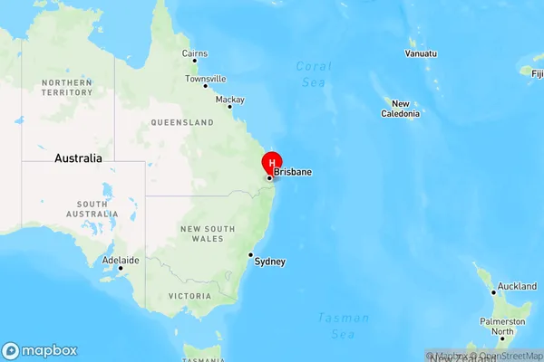
Main Region in AU
R2Coordinates
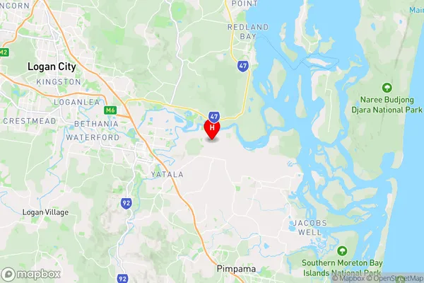
-27.7069,153.2689 (latitude/longitude)Alberton Area Map (Street)

Longitude
153.204523Latitude
-27.733991Alberton Elevation
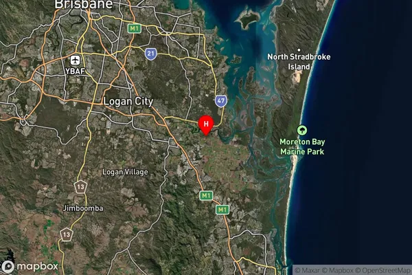
about 42.13 meters height above sea level (Altitude)Alberton Suburb Map (Satellite)

Distances
The distance from Alberton, Gold Coast, QLD to AU Greater Capital CitiesSA1 Code 2011
30907125408SA1 Code 2016
30907125408SA2 Code
309071254SA3 Code
30907SA4 Code
309RA 2011
1RA 2016
1MMM 2015
1MMM 2019
1Charge Zone
Q1LGA Region
LoganLGA Code
34590Electorate
Wright