Loganholme Dc Area, Loganholme Dc Postcode(4129) & Map in Loganholme Dc, Logan - Beaudesert, QLD
Loganholme Dc Area, Loganholme Dc Postcode(4129) & Map in Loganholme Dc, Logan - Beaudesert, QLD, AU, Postcode: 4129
Loganholme Dc, Loganholme - Tanah Merah, Loganlea - Carbrook, Logan - Beaudesert, Queensland, Australia, 4129
Loganholme Dc Postcode
Area Name
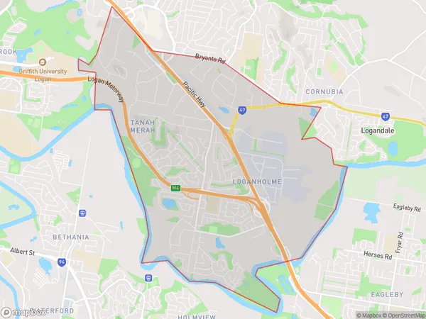
Loganholme DcLoganholme Dc Suburb Area Map (Polygon)

Loganholme Dc Introduction
Loganholme DC is a locality in the City of Logan, Queensland, Australia. It is located in the southern suburbs of the city, about 17 kilometers from the Brisbane CBD. Loganholme DC is a planned community with a variety of housing types, including apartments, townhouses, and houses. It has a number of parks and recreational facilities, including a swimming pool, sports fields, and a community center. The area is served by a number of schools, including Loganholme State School and Loganlea State High School.State Name
City or Big Region
District or Regional Area
Suburb Name
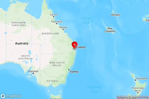
Loganholme Dc Region Map

Country
Main Region in AU
R1Coordinates
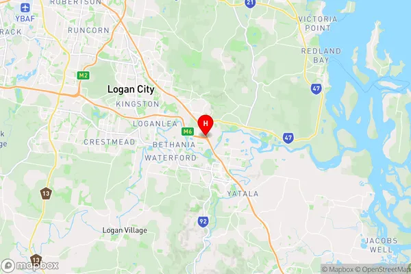
-27.6849,153.188 (latitude/longitude)Loganholme Dc Area Map (Street)

Longitude
153.186817Latitude
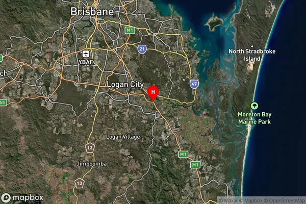
-27.681519Loganholme Dc Suburb Map (Satellite)

Distances
The distance from Loganholme Dc, Logan - Beaudesert, QLD to AU Greater Capital CitiesSA1 Code 2011
31105132517SA1 Code 2016
31105132517SA2 Code
311051325SA3 Code
31105SA4 Code
311RA 2011
1RA 2016
1MMM 2015
1MMM 2019
1Charge Zone
Q1LGA Region
LoganLGA Code
34590Electorate
Forde