Eagleby Suburbs & Region, Eagleby Map & Postcodes
Eagleby Suburbs & Region, Eagleby Map & Postcodes in Eagleby, Loganlea Carbrook, Logan Beaudesert, QLD, AU
Eagleby Region
Region Name
Eagleby (QLD, AU)Eagleby Area
13.82 square kilometers (13.82 ㎢)Postal Codes
4207 (In total, there are 1 postcodes in Eagleby.)Eagleby Introduction
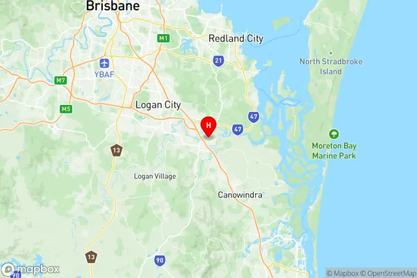
Eagleby is a locality in the City of Logan, Queensland, Australia. It is located 26 kilometers south of the state capital, Brisbane. At the 2011 Australian census, Eagleby recorded a population of 11,644. Eagleby is a planned community that was established in the 1980s. It is named after the eagle that is depicted on the Queensland coat of arms. The town has a variety of amenities, including a shopping center, a medical center, a library, and a number of parks and recreational facilities. The area is known for its beautiful natural surroundings, including the Logan River and the Mount Superbus National Park. The town is also home to a number of industries, including manufacturing, agriculture, and tourism.Australia State
City or Big Region
Greater Capital City
Greater Brisbane (3GBRI)District or Regional Area
Suburb Name
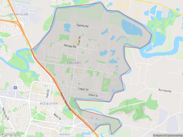
Eagleby Region Map

Eagleby Postcodes / Zip Codes
Eagleby Suburbs
Eagleby full address
Eagleby, Loganlea Carbrook, Logan Beaudesert, Queensland, QLD, Australia, SaCode: 311021307Country
Eagleby, Loganlea Carbrook, Logan Beaudesert, Queensland, QLD, Australia, SaCode: 311021307
Eagleby Suburbs & Region, Eagleby Map & Postcodes has 0 areas or regions above, and there are 1 Eagleby suburbs below. The sa2code for the Eagleby region is 311021307. Its latitude and longitude coordinates are -27.7026,153.213. Eagleby area belongs to Australia's greater capital city Greater Brisbane.
Eagleby Suburbs & Localities
1. Eagleby
