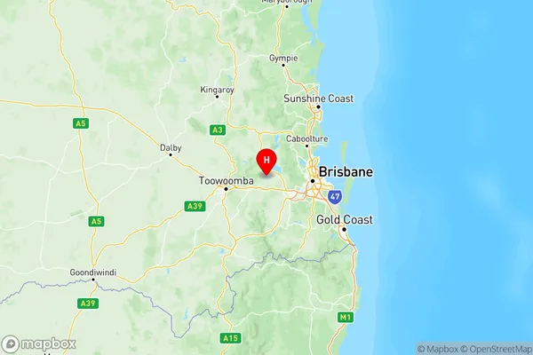
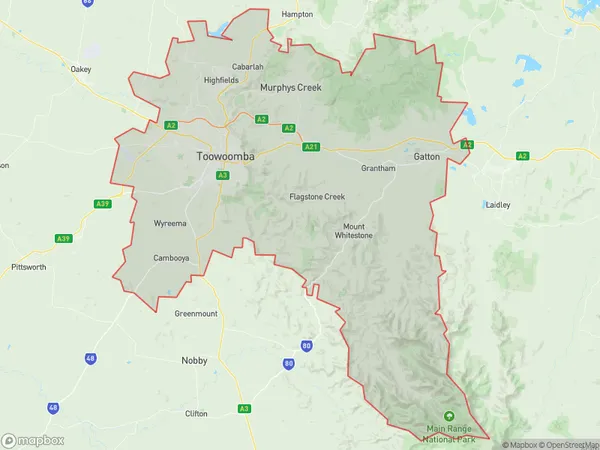
Toowoomba Suburbs & Region, Toowoomba Map & Postcodes
Toowoomba Suburbs & Region, Toowoomba Map & Postcodes in Toowoomba, QLD, AU
Toowoomba Region
Region Name
Toowoomba (QLD, AU)Toowoomba Area
2259 square kilometers (2,259 ㎢)Postal Codes
4311, from 4342 to 4345, 4347, 4350, 4352, 4358, 4359, and 4400 (In total, there are 11 postcodes in Toowoomba.)Toowoomba Introduction
Toowoomba is a city in Queensland, Australia, located 115 kilometers west of Brisbane. It is known for its beautiful gardens, such as the Toowoomba Botanical Gardens, and its annual Carnival of Flowers. The city is also home to several universities, including the University of Queensland and the University of Southern Queensland. It is a popular tourist destination and is known for its friendly locals and relaxed atmosphere.Australia State
City or Big Region
Toowoomba Region Map

Toowoomba Postcodes / Zip Codes
Toowoomba Suburbs
Toowoomba
Toowoomba full address
Toowoomba, Queensland, QLD, Australia, SaCode: 317Country
Toowoomba, Queensland, QLD, Australia, SaCode: 317
Toowoomba Suburbs & Region, Toowoomba Map & Postcodes has 1 areas or regions above, and there are 213 Toowoomba suburbs below. The sa4code for the Toowoomba region is 317. Its latitude and longitude coordinates are -27.4317,152.451.
Toowoomba Suburbs & Localities
1. Cement Mills
2. Gowrie Mountain
3. Ramsay
4. Greenmount East
5. Buaraba
6. Forest Hill
7. Lawes
8. Gatton College
9. Kingsthorpe
10. Helidon
11. Winwill
